Distance to Seneca Gardens, Kentucky

Calculating Your Route
Just a moment while we process your request...
Location Information
-
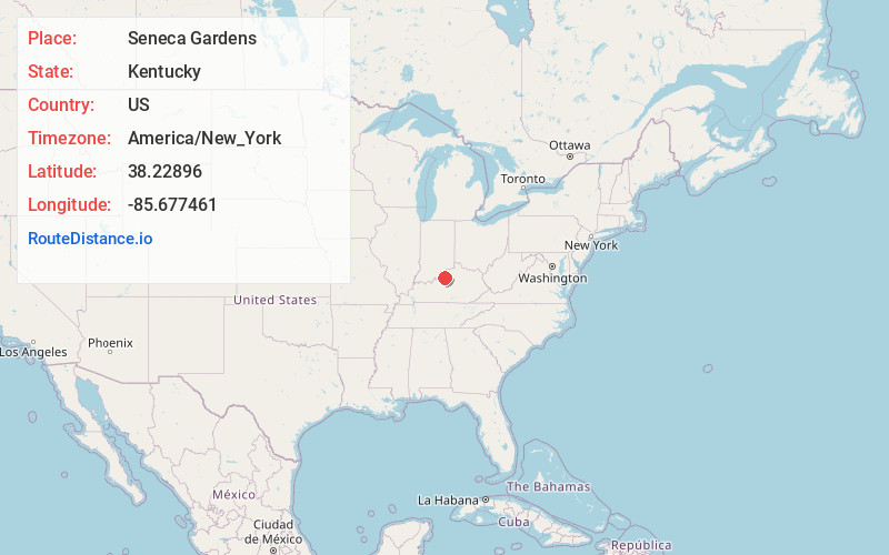
Full AddressSeneca Gardens, KY 40205
-
Coordinates38.2289595, -85.6774612
-
LocationSeneca Gardens , Kentucky , US
-
TimezoneAmerica/New_York
-
Current Local Time4:30:53 AM America/New_YorkThursday, May 29, 2025
-
Page Views0
About Seneca Gardens
Seneca Gardens is a home rule-class city in Jefferson County, Kentucky, United States, and a part of the Louisville Metro government. With the single exception of the Keneseth Israel Synagogue, all buildings within city limits are residential. The population was 696 as of the 2010 census.
Nearby Places
Found 10 places within 50 miles

West Buechel
2.3 mi
3.7 km
West Buechel, KY 40218
Get directions

St Matthews
2.5 mi
4.0 km
St Matthews, KY
Get directions

Watterson Park
2.6 mi
4.2 km
Watterson Park, KY
Get directions
Beechwood Village
3.1 mi
5.0 km
Beechwood Village, KY
Get directions

Audubon Park
3.1 mi
5.0 km
Audubon Park, KY 40213
Get directions
Indian Hills
3.1 mi
5.0 km
Indian Hills, KY
Get directions

St Regis Park
3.3 mi
5.3 km
St Regis Park, KY 40220
Get directions
Woodlawn Park
3.5 mi
5.6 km
Woodlawn Park, KY 40207
Get directions
Parkway Village
3.6 mi
5.8 km
Parkway Village, KY 40217
Get directions
Houston Acres
3.6 mi
5.8 km
Houston Acres, KY 40220
Get directions
Location Links
Local Weather
Weather Information
Coming soon!
Location Map
Static map view of Seneca Gardens, Kentucky
Browse Places by Distance
Places within specific distances from Seneca Gardens
Short Distances
Long Distances
Click any distance to see all places within that range from Seneca Gardens. Distances shown in miles (1 mile ≈ 1.61 kilometers).