Distance to Seneca, Arizona

Calculating Your Route
Just a moment while we process your request...
Location Information
-
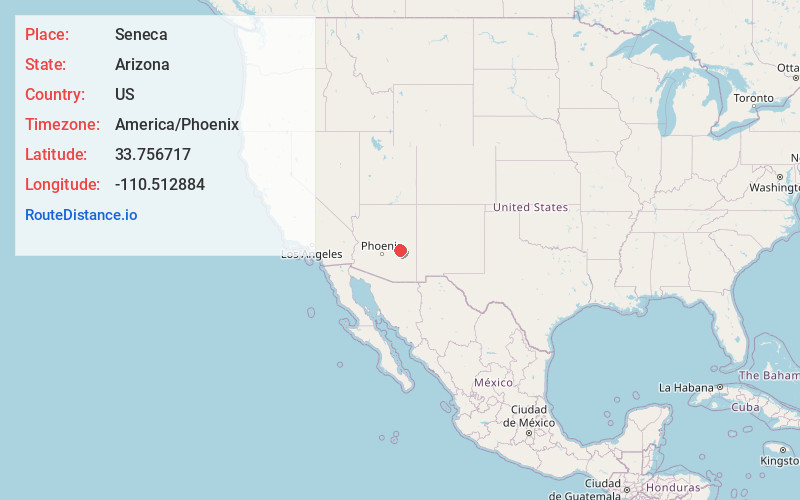
Full AddressSeneca, AZ 85550
-
Coordinates33.7567174, -110.512884
-
LocationArizona , US
-
TimezoneAmerica/Phoenix
-
Current Local Time6:00:37 AM America/PhoenixSunday, June 22, 2025
-
Page Views0
About Seneca
Seneca is a former unincorporated community in Gila County, Arizona, United States. It has an estimated elevation of 4,800 feet above sea level. It is
located between Globe and Show Low, along U.S. Route 60, and contained within the San Carlos Apache Indian Reservation,
Nearby Places
Found 10 places within 50 miles

Cibecue Creek
8.9 mi
14.3 km
Cibecue Creek, Arizona
Get directions

Rock House Tank
10.9 mi
17.5 km
Rock House Tank, Arizona
Get directions
Mcmillianville
16.8 mi
27.0 km
Mcmillianville, AZ 85501
Get directions
Dagger
17.8 mi
28.6 km
Dagger, AZ 85501
Get directions

Cibecue
20.0 mi
32.2 km
Cibecue, AZ 85911
Get directions
Cedar Creek
21.7 mi
34.9 km
Cedar Creek, AZ 85941
Get directions
Copper Hill
26.8 mi
43.1 km
Copper Hill, AZ 85501
Get directions

Canyon Day
28.0 mi
45.1 km
Canyon Day, AZ 85941
Get directions

San Carlos
28.0 mi
45.1 km
San Carlos, AZ 85550
Get directions
Cutter
28.8 mi
46.3 km
Cutter, AZ 85550
Get directions
Location Links
Local Weather
Weather Information
Coming soon!
Location Map
Static map view of Seneca, Arizona
Browse Places by Distance
Places within specific distances from Seneca
Short Distances
Long Distances
Click any distance to see all places within that range from Seneca. Distances shown in miles (1 mile ≈ 1.61 kilometers).