Distance to Seneca Township, Michigan

Calculating Your Route
Just a moment while we process your request...
Location Information
-
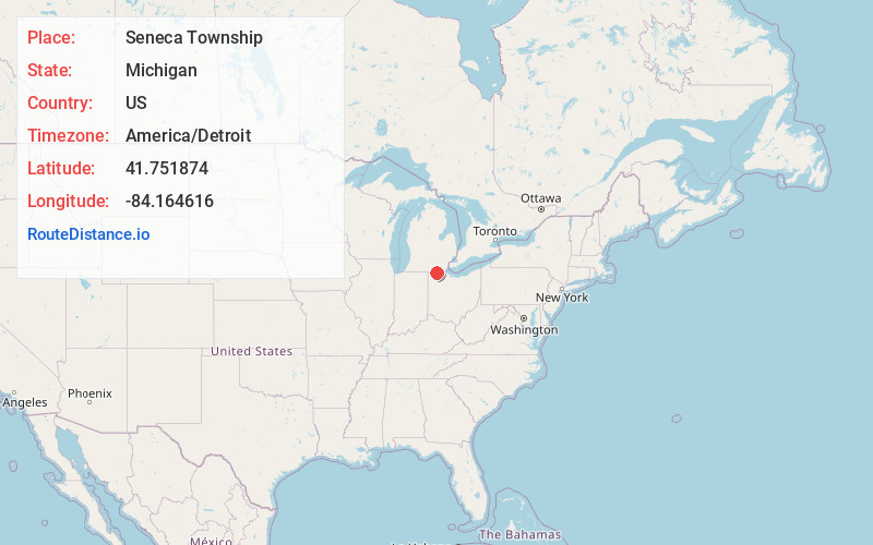
Full AddressSeneca Township, MI
-
Coordinates41.7518743, -84.1646163
-
LocationSeneca Township , Michigan , US
-
TimezoneAmerica/Detroit
-
Current Local Time9:13:57 AM America/DetroitThursday, May 29, 2025
-
Page Views0
About Seneca Township
Seneca Township is a civil township of Lenawee County in the U.S. state of Michigan. The population was 1,155 at the 2020 census.
Nearby Places
Found 10 places within 50 miles

Seneca
2.5 mi
4.0 km
Seneca, MI 49256
Get directions
North Morenci
3.1 mi
5.0 km
North Morenci, MI 49256
Get directions

Morenci
3.5 mi
5.6 km
Morenci, MI 49256
Get directions

Fairfield Township
4.4 mi
7.1 km
Fairfield Township, MI
Get directions
Canandaigua
4.8 mi
7.7 km
Canandaigua, Medina Township, MI 49247
Get directions
Oakshade
5.8 mi
9.3 km
Oakshade, Chesterfield Township, OH 43567
Get directions

Lyons
6.1 mi
9.8 km
Lyons, OH 43533
Get directions
Medina
6.4 mi
10.3 km
Medina, MI 49247
Get directions
Powers
6.7 mi
10.8 km
Powers, Gorham Township, OH 43521
Get directions
Inlet
6.9 mi
11.1 km
Inlet, Chesterfield Township, OH 43567
Get directions
Location Links
Local Weather
Weather Information
Coming soon!
Location Map
Static map view of Seneca Township, Michigan
Browse Places by Distance
Places within specific distances from Seneca Township
Short Distances
Long Distances
Click any distance to see all places within that range from Seneca Township. Distances shown in miles (1 mile ≈ 1.61 kilometers).