Distance to Sevenoaks

Calculating Your Route
Just a moment while we process your request...
Location Information
-
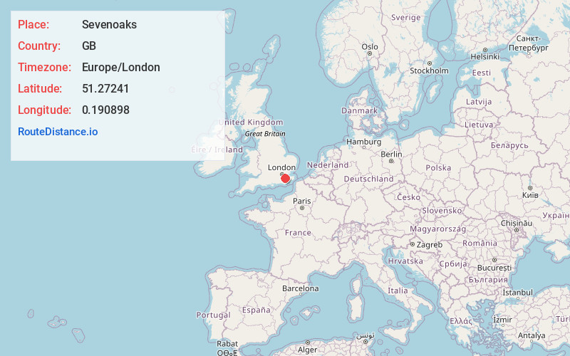
Full AddressSevenoaks, UK
-
Coordinates51.27241, 0.190898
-
LocationSevenoaks , GB
-
TimezoneEurope/London
-
Current Local Time10:00:07 AM Europe/LondonFriday, May 30, 2025
-
Page Views0
About Sevenoaks
Sevenoaks is a town in Kent with a population of 29,506, situated south-east of London, England. Also classified as a civil parish, Sevenoaks is served by a commuter main line railway into London; the town is 21 miles from Charing Cross, the traditional centre of London.


Nearby Places
Found 10 places within 50 miles

Maidstone
14.3 mi
23.0 km
Maidstone, UK
Get directions

TN5
16.1 mi
25.9 km
Wadhurst TN5, UK
Get directions

Wimbledon
20.4 mi
32.8 km
Wimbledon, London, UK
Get directions

Waterloo Station
20.6 mi
33.2 km
Waterloo Station, London SE1 8SR, UK
Get directions
Big Ben
20.8 mi
33.5 km
Big Ben, London SW1A 0AA, United Kingdom
Get directions

Westminster
21.0 mi
33.8 km
Westminster, London, UK
Get directions

Victoria Coach Station
21.1 mi
34.0 km
Victoria Coach Station, London SW1W 9RH, UK
Get directions

Victoria Station
21.1 mi
34.0 km
Victoria Station, London, UK
Get directions

London
21.3 mi
34.3 km
London, UK
Get directions
Buckingham Palace
21.4 mi
34.4 km
Buckingham Palace, London SW1A 1AA, United Kingdom
Get directions
Location Links
Local Weather
Weather Information
Coming soon!
Location Map
Static map view of Sevenoaks
Browse Places by Distance
Places within specific distances from Sevenoaks
Short Distances
Long Distances
Click any distance to see all places within that range from Sevenoaks. Distances shown in miles (1 mile ≈ 1.61 kilometers).