Distance to Sexton, Iowa

Calculating Your Route
Just a moment while we process your request...
Location Information
-
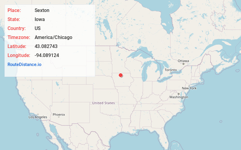
Full AddressSexton, IA
-
Coordinates43.0827432, -94.0891243
-
LocationSexton , Iowa , US
-
TimezoneAmerica/Chicago
-
Current Local Time6:07:29 PM America/ChicagoFriday, May 30, 2025
-
Page Views0
About Sexton
Sexton is an unincorporated community and census-designated place in Irvington Township, Kossuth County, Iowa, United States. It is located at the intersection of U.S. Route 18 and Kossuth CR P60. As of the 2020 census it had a population of 46.
Nearby Places
Found 10 places within 50 miles

St. Benedict
3.3 mi
5.3 km
St. Benedict, IA
Get directions

Wesley
4.9 mi
7.9 km
Wesley, IA 50483
Get directions
Algona
7.3 mi
11.7 km
Algona, IA 50511
Get directions
Irvington
7.5 mi
12.1 km
Irvington, IA 50560
Get directions

Corwith
9.1 mi
14.6 km
Corwith, IA 50430
Get directions

Hutchins
10.2 mi
16.4 km
Hutchins, IA 50423
Get directions
Burt
10.2 mi
16.4 km
Burt, IA 50522
Get directions
Titonka
10.9 mi
17.5 km
Titonka, IA 50480
Get directions

Lu Verne
12.1 mi
19.5 km
Lu Verne, IA 50560
Get directions

Woden
13.8 mi
22.2 km
Woden, IA 50484
Get directions
Location Links
Local Weather
Weather Information
Coming soon!
Location Map
Static map view of Sexton, Iowa
Browse Places by Distance
Places within specific distances from Sexton
Short Distances
Long Distances
Click any distance to see all places within that range from Sexton. Distances shown in miles (1 mile ≈ 1.61 kilometers).