Distance to Seybert, Missouri

Calculating Your Route
Just a moment while we process your request...
Location Information
-
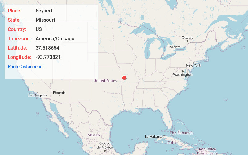
Full AddressSeybert, Sac Township, MO 65661
-
Coordinates37.5186538, -93.7738213
-
LocationSac Township , Missouri , US
-
TimezoneAmerica/Chicago
-
Current Local Time5:46:51 AM America/ChicagoSaturday, June 7, 2025
-
Page Views0
Nearby Places
Found 10 places within 50 miles

Arcola
5.9 mi
9.5 km
Arcola, MO 65603
Get directions

Dadeville
6.1 mi
9.8 km
Dadeville, MO 65635
Get directions
Umber View Heights
7.4 mi
11.9 km
Umber View Heights, MO 65785
Get directions

Greenfield
8.0 mi
12.9 km
Greenfield, MO 65661
Get directions
Masters
8.6 mi
13.8 km
Masters, Madison Township, MO 65601
Get directions

South Greenfield
10.5 mi
16.9 km
South Greenfield, MO
Get directions
Aldrich
12.3 mi
19.8 km
Aldrich, MO 65601
Get directions

Stockton
12.5 mi
20.1 km
Stockton, MO 65785
Get directions

Everton
12.8 mi
20.6 km
Everton, MO 65646
Get directions

Fair Play
13.4 mi
21.6 km
Fair Play, MO
Get directions
Location Links
Local Weather
Weather Information
Coming soon!
Location Map
Static map view of Seybert, Missouri
Browse Places by Distance
Places within specific distances from Seybert
Short Distances
Long Distances
Click any distance to see all places within that range from Seybert. Distances shown in miles (1 mile ≈ 1.61 kilometers).