Distance to Shady Shores, Michigan

Calculating Your Route
Just a moment while we process your request...
Location Information
-
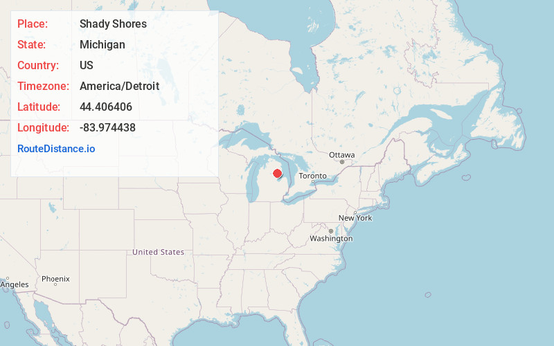
Full AddressShady Shores, Hill Township, MI 48635
-
Coordinates44.4064057, -83.9744384
-
LocationHill Township , Michigan , US
-
TimezoneAmerica/Detroit
-
Current Local Time6:16:08 AM America/DetroitSunday, June 1, 2025
-
Page Views0
Nearby Places
Found 10 places within 50 miles

Rose City
7.1 mi
11.4 km
Rose City, MI 48654
Get directions

Reno Township
10.9 mi
17.5 km
Reno Township, MI
Get directions

Elbow Lake
13.5 mi
21.7 km
Elbow Lake, Skidway Lake, MI 48756
Get directions

Whittemore
14.6 mi
23.5 km
Whittemore, MI 48770
Get directions
Prescott
15.0 mi
24.1 km
Prescott, MI 48756
Get directions

Skidway Lake
15.7 mi
25.3 km
Skidway Lake, MI
Get directions

West Branch
15.8 mi
25.4 km
West Branch, MI 48661
Get directions

Glennie
16.2 mi
26.1 km
Glennie, MI 48737
Get directions
Bryant
17.3 mi
27.8 km
Bryant, Curtis Township, MI 48737
Get directions

Mio
18.6 mi
29.9 km
Mio, MI 48647
Get directions
Location Links
Local Weather
Weather Information
Coming soon!
Location Map
Static map view of Shady Shores, Michigan
Browse Places by Distance
Places within specific distances from Shady Shores
Short Distances
Long Distances
Click any distance to see all places within that range from Shady Shores. Distances shown in miles (1 mile ≈ 1.61 kilometers).