Distance to Whittemore, Michigan

Calculating Your Route
Just a moment while we process your request...
Location Information
-
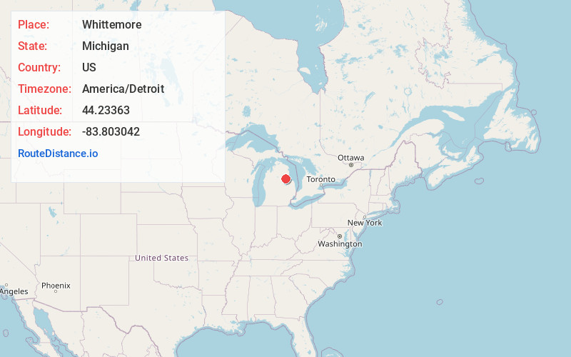
Full AddressWhittemore, MI 48770
-
Coordinates44.2336298, -83.8030424
-
LocationWhittemore , Michigan , US
-
TimezoneAmerica/Detroit
-
Current Local Time8:04:35 PM America/DetroitMonday, June 23, 2025
-
Page Views0
About Whittemore
Whittemore is a city in Iosco County in the U.S. state of Michigan. The population was 414 at the 2020 census, which ranks it as the fourth-least populated city in the state after Omer, Lake Angelus, and Gaastra.


Nearby Places
Found 10 places within 50 miles

Skidway Lake
12.0 mi
19.3 km
Skidway Lake, MI
Get directions

Au Gres
13.8 mi
22.2 km
Au Gres, MI 48703
Get directions

Tawas City
14.5 mi
23.3 km
Tawas City, MI 48763
Get directions

East Tawas
15.8 mi
25.4 km
East Tawas, MI 48730
Get directions

Sterling
17.6 mi
28.3 km
Sterling, MI 48659
Get directions

Standish
19.0 mi
30.6 km
Standish, MI 48658
Get directions

Rose City
20.2 mi
32.5 km
Rose City, MI 48654
Get directions

West Branch
21.8 mi
35.1 km
West Branch, MI 48661
Get directions

Au Sable
26.2 mi
42.2 km
Au Sable, MI 48750
Get directions

Pinconning
27.5 mi
44.3 km
Pinconning, MI 48650
Get directions
Location Links
Local Weather
Weather Information
Coming soon!
Location Map
Static map view of Whittemore, Michigan
Browse Places by Distance
Places within specific distances from Whittemore
Short Distances
Long Distances
Click any distance to see all places within that range from Whittemore. Distances shown in miles (1 mile ≈ 1.61 kilometers).