Distance to Shannandale, Virginia

Calculating Your Route
Just a moment while we process your request...
Location Information
-
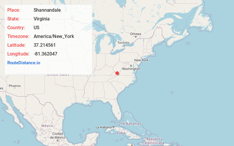
Full AddressShannandale, VA 24605
-
Coordinates37.2145609, -81.3620471
-
LocationVirginia , US
-
TimezoneAmerica/New_York
-
Current Local Time8:10:03 PM America/New_YorkFriday, May 30, 2025
-
Page Views0
Nearby Places
Found 10 places within 50 miles

Bailey
1.5 mi
2.4 km
Bailey, VA 24605
Get directions
St Clair
2.9 mi
4.7 km
St Clair, VA 24605
Get directions
Tiptop
4.0 mi
6.4 km
Tiptop, VA 24630
Get directions
Shawver Mill
4.2 mi
6.8 km
Shawver Mill, VA 24651
Get directions

Cove Creek
4.4 mi
7.1 km
Cove Creek, VA 24314
Get directions
Boissevain
4.8 mi
7.7 km
Boissevain, VA 24605
Get directions

Falls Mills
5.3 mi
8.5 km
Falls Mills, VA 24613
Get directions
Abbs Valley
5.4 mi
8.7 km
Abbs Valley, VA 24605
Get directions

Bluefield
5.6 mi
9.0 km
Bluefield, VA 24605
Get directions
Big Vein
5.7 mi
9.2 km
Big Vein, VA 24605
Get directions
Location Links
Local Weather
Weather Information
Coming soon!
Location Map
Static map view of Shannandale, Virginia
Browse Places by Distance
Places within specific distances from Shannandale
Short Distances
Long Distances
Click any distance to see all places within that range from Shannandale. Distances shown in miles (1 mile ≈ 1.61 kilometers).