Distance to Shannon, Arkansas

Calculating Your Route
Just a moment while we process your request...
Location Information
-
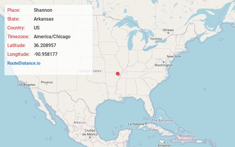
Full AddressShannon, AR 72455
-
Coordinates36.2089565, -90.9581767
-
LocationArkansas , US
-
TimezoneAmerica/Chicago
-
Current Local Time7:30:03 PM America/ChicagoSaturday, May 31, 2025
-
Page Views0
Nearby Places
Found 10 places within 50 miles

Pocahontas
3.8 mi
6.1 km
Pocahontas, AR 72455
Get directions

Lorine
7.9 mi
12.7 km
Lorine, AR 72455
Get directions
O'Kean
8.4 mi
13.5 km
O'Kean, AR
Get directions
Dicus
8.5 mi
13.7 km
Dicus, Walnut Ridge, AR 72476
Get directions
Dunn
8.5 mi
13.7 km
Dunn, AR 72434
Get directions
Brockett
9.0 mi
14.5 km
Brockett, AR 72455
Get directions

Walnut Ridge
9.7 mi
15.6 km
Walnut Ridge, AR
Get directions
Stokes
10.2 mi
16.4 km
Stokes, AR 72455
Get directions
Portia
10.4 mi
16.7 km
Portia, AR
Get directions

Black Rock
10.5 mi
16.9 km
Black Rock, AR
Get directions
Location Links
Local Weather
Weather Information
Coming soon!
Location Map
Static map view of Shannon, Arkansas
Browse Places by Distance
Places within specific distances from Shannon
Short Distances
Long Distances
Click any distance to see all places within that range from Shannon. Distances shown in miles (1 mile ≈ 1.61 kilometers).