Distance to Shanty Town, Minnesota

Calculating Your Route
Just a moment while we process your request...
Location Information
-
Full AddressShanty Town, Salem Township, MN 55920
-
Coordinates43.9741303, -92.6399053
-
LocationSalem Township , Minnesota , US
-
TimezoneAmerica/Chicago
-
Current Local Time5:16:51 AM America/ChicagoSunday, June 1, 2025
-
Page Views0
About Shanty Town
Shanty Town is an unincorporated community in Salem Township, Olmsted County, Minnesota, United States, near Byron. The community is located along Olmsted County Road 150 near 35th Street SW.
Nearby Places
Found 10 places within 50 miles

Rock Dell
3.7 mi
6.0 km
Rock Dell, MN 55920
Get directions

Byron
4.1 mi
6.6 km
Byron, MN 55920
Get directions

Kasson
6.7 mi
10.8 km
Kasson, MN
Get directions

Willow Creek Reservoir
7.8 mi
12.6 km
Willow Creek Reservoir, Rochester, MN 55902
Get directions
Post Town
8.0 mi
12.9 km
Post Town, Kalmar Township, MN 55920
Get directions

Mantorville
8.7 mi
14.0 km
Mantorville, MN
Get directions
Genoa
9.5 mi
15.3 km
Genoa, MN 55920
Get directions

Rochester
9.5 mi
15.3 km
Rochester, MN
Get directions
Judge
9.7 mi
15.6 km
Judge, High Forest Township, MN 55904
Get directions
High Forest
10.0 mi
16.1 km
High Forest, MN 55976
Get directions
Location Links
Local Weather
Weather Information
Coming soon!
Location Map
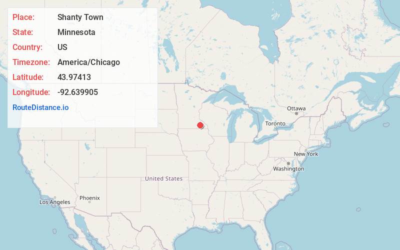
Static map view of Shanty Town, Minnesota
Browse Places by Distance
Places within specific distances from Shanty Town
Short Distances
Long Distances
Click any distance to see all places within that range from Shanty Town. Distances shown in miles (1 mile ≈ 1.61 kilometers).