Distance to Shaw, Minnesota

Calculating Your Route
Just a moment while we process your request...
Location Information
-
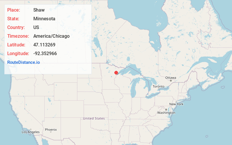
Full AddressShaw, MN 55724
-
Coordinates47.1132688, -92.3529655
-
LocationShaw , Minnesota , US
-
TimezoneAmerica/Chicago
-
Current Local Time4:27:42 AM America/ChicagoSaturday, May 31, 2025
-
Page Views0
About Shaw
Shaw is an unincorporated community in Saint Louis County, Minnesota, United States; located on Saint Louis County Road 15, near Saint Louis County Road 49.
The community is located in the southeast corner of Cotton Township, near the boundary line; and is within the Cloquet Valley State Forest of Saint Louis County.
Nearby Places
Found 10 places within 50 miles

Cotton
7.0 mi
11.3 km
Cotton, MN 55724
Get directions

Canyon
7.5 mi
12.1 km
Canyon, MN 55717
Get directions

Whiteface Reservoir
8.3 mi
13.4 km
Whiteface Reservoir, MN
Get directions
Taft
8.4 mi
13.5 km
Taft, MN 55803
Get directions

Melrude
9.6 mi
15.4 km
Melrude, MN 55724
Get directions
Payne
11.6 mi
18.7 km
Payne, MN 55765
Get directions

Island Lake
11.7 mi
18.8 km
Island Lake, MN 55803
Get directions
Kelsey
11.9 mi
19.2 km
Kelsey, MN 55724
Get directions
Dumblane
12.5 mi
20.1 km
Dumblane, MN 55724
Get directions
Sax
13.5 mi
21.7 km
Sax, MN 55738
Get directions
Location Links
Local Weather
Weather Information
Coming soon!
Location Map
Static map view of Shaw, Minnesota
Browse Places by Distance
Places within specific distances from Shaw
Short Distances
Long Distances
Click any distance to see all places within that range from Shaw. Distances shown in miles (1 mile ≈ 1.61 kilometers).