Distance to and from Shawboro, North Carolina
Shawboro, NC 27973
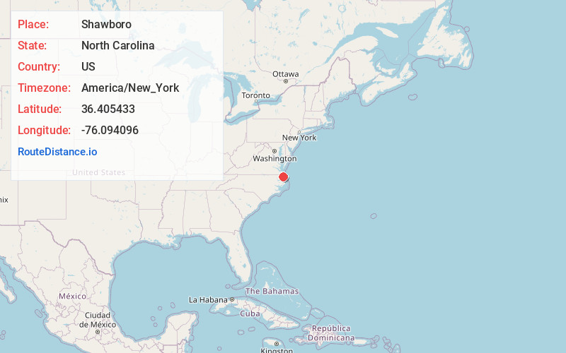
Shawboro
North Carolina
US
America/New_York
Location Information
-
Full AddressShawboro, NC 27973
-
Coordinates36.4054333, -76.0940962
-
LocationShawboro , North Carolina , US
-
TimezoneAmerica/New_York
-
Current Local Time8:49:01 PM America/New_YorkFriday, May 2, 2025
-
Page Views0
Directions to Nearest Cities
About Shawboro
Shawboro is an unincorporated community located in Currituck County, North Carolina, United States.
The area takes its name from Henry Marchmore Shaw.
The post office is located close to the intersection of Shawboro Road and North Indian Town Road. The ZIP Code is 27973.

Nearby Places
Found 10 places within 50 miles

Gregory
2.2 mi
3.5 km
Gregory, NC 27973
Get directions
Snowden
3.6 mi
5.8 km
Snowden, NC 27958
Get directions
Maple
5.1 mi
8.2 km
Maple, NC
Get directions
Belcross
5.2 mi
8.4 km
Belcross, NC 27921
Get directions

Currituck
5.3 mi
8.5 km
Currituck, NC
Get directions
Tulls
6.0 mi
9.7 km
Tulls, NC 27958
Get directions

Camden
6.9 mi
11.1 km
Camden, NC 27921
Get directions
Riddle
8.4 mi
13.5 km
Riddle, NC 27973
Get directions

Coinjock
9.0 mi
14.5 km
Coinjock, NC
Get directions

Moyock
9.5 mi
15.3 km
Moyock, NC 27958
Get directions
Gregory
2.2 mi
3.5 km
Gregory, NC 27973
Snowden
3.6 mi
5.8 km
Snowden, NC 27958
Maple
5.1 mi
8.2 km
Maple, NC
Belcross
5.2 mi
8.4 km
Belcross, NC 27921
Currituck
5.3 mi
8.5 km
Currituck, NC
Tulls
6.0 mi
9.7 km
Tulls, NC 27958
Camden
6.9 mi
11.1 km
Camden, NC 27921
Riddle
8.4 mi
13.5 km
Riddle, NC 27973
Coinjock
9.0 mi
14.5 km
Coinjock, NC
Moyock
9.5 mi
15.3 km
Moyock, NC 27958
Location Links
Local Weather
Weather Information
Coming soon!
Location Map
Static map view of Shawboro, North Carolina
Browse Places by Distance
Places within specific distances from Shawboro
Short Distances
Long Distances
Click any distance to see all places within that range from Shawboro. Distances shown in miles (1 mile ≈ 1.61 kilometers).