Distance to Shawnee, Ohio

Calculating Your Route
Just a moment while we process your request...
Location Information
-
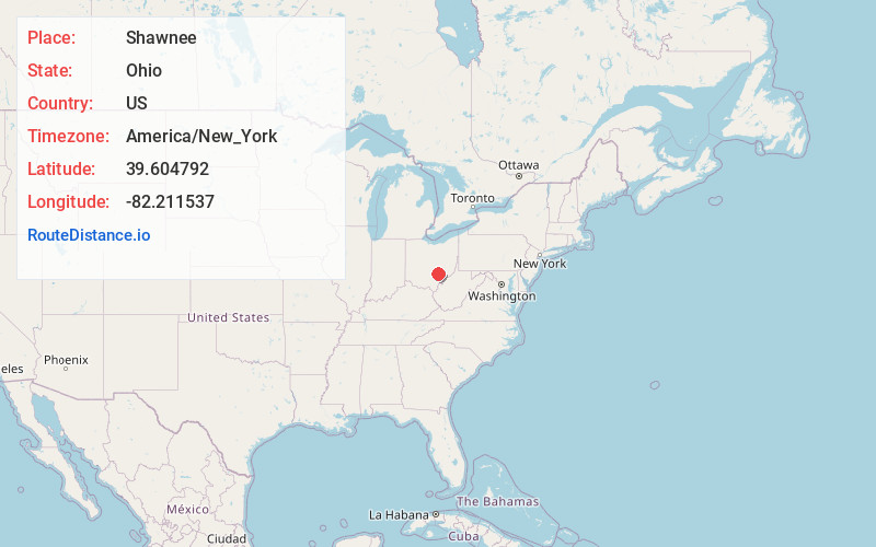
Full AddressShawnee, OH
-
Coordinates39.6047915, -82.2115368
-
LocationShawnee , Ohio , US
-
TimezoneAmerica/New_York
-
Current Local Time6:43:32 PM America/New_YorkSaturday, May 31, 2025
-
Page Views0
About Shawnee
Shawnee is a village in Perry County, Ohio, United States. The population was 505 at the 2020 census. It is 9 miles south of the county seat of New Lexington.


Nearby Places
Found 10 places within 50 miles

New Straitsville
2.3 mi
3.7 km
New Straitsville, OH 43766
Get directions

Corning
6.6 mi
10.6 km
Corning, OH 43730
Get directions

Murray City
6.9 mi
11.1 km
Murray City, OH
Get directions

New Lexington
7.5 mi
12.1 km
New Lexington, OH 43764
Get directions

Junction City
9.3 mi
15.0 km
Junction City, OH 43748
Get directions

Glouster
9.8 mi
15.8 km
Glouster, OH 45732
Get directions

Nelsonville
10.2 mi
16.4 km
Nelsonville, OH 45764
Get directions

Trimble
10.9 mi
17.5 km
Trimble, OH
Get directions

Logan
11.3 mi
18.2 km
Logan, OH 43138
Get directions
West Logan
12.4 mi
20.0 km
West Logan, OH 43138
Get directions
Location Links
Local Weather
Weather Information
Coming soon!
Location Map
Static map view of Shawnee, Ohio
Browse Places by Distance
Places within specific distances from Shawnee
Short Distances
Long Distances
Click any distance to see all places within that range from Shawnee. Distances shown in miles (1 mile ≈ 1.61 kilometers).