Distance to Shawnigan Lake, British Columbia

Calculating Your Route
Just a moment while we process your request...
Location Information
-
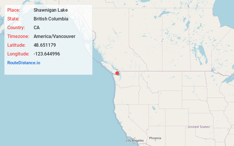
Full AddressShawnigan Lake, BC, Canada
-
Coordinates48.6511793, -123.6449962
-
LocationShawnigan Lake , British Columbia , CA
-
TimezoneAmerica/Vancouver
-
Current Local Time7:10:49 AM America/VancouverTuesday, June 24, 2025
-
Page Views0
About Shawnigan Lake
Shawnigan Lake is the name of a village on British Columbia's Vancouver Island. The name Shawnigan is an adaptation of the Hul'qumi'num name Showe'luqun, for the lake and the village. It is part of Electoral Area B in the Cowichan Valley Regional District.


Nearby Places
Found 10 places within 50 miles

Duncan
9.3 mi
15.0 km
Duncan, BC, Canada
Get directions

The Butchart Gardens
10.0 mi
16.1 km
The Butchart Gardens
Get directions

Sidney
11.2 mi
18.0 km
Sidney, BC, Canada
Get directions

Langford
15.6 mi
25.1 km
Langford, BC, Canada
Get directions

Sooke
19.3 mi
31.1 km
Sooke, BC, Canada
Get directions

Prevost
19.9 mi
32.0 km
Prevost, WA 98250
Get directions
Yacht Haven
22.3 mi
35.9 km
Yacht Haven, WA 98250
Get directions

Roche Harbor
22.8 mi
36.7 km
Roche Harbor, WA 98250
Get directions

Ladysmith
25.0 mi
40.2 km
Ladysmith, BC, Canada
Get directions
Lakedale
26.2 mi
42.2 km
Lakedale, WA 98250
Get directions
Location Links
Local Weather
Weather Information
Coming soon!
Location Map
Static map view of Shawnigan Lake, British Columbia
Browse Places by Distance
Places within specific distances from Shawnigan Lake
Short Distances
Long Distances
Click any distance to see all places within that range from Shawnigan Lake. Distances shown in miles (1 mile ≈ 1.61 kilometers).