Distance to Ladysmith, British Columbia

Calculating Your Route
Just a moment while we process your request...
Location Information
-
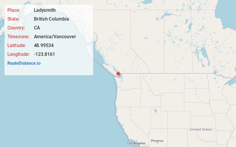
Full AddressLadysmith, BC, Canada
-
Coordinates48.99534, -123.8161
-
LocationLadysmith , British Columbia , CA
-
TimezoneAmerica/Vancouver
-
Current Local Time11:43:28 PM America/VancouverThursday, June 19, 2025
-
Website
-
Page Views0
About Ladysmith
Ladysmith, originally Oyster Harbour, is a town located on the 49th parallel north on the east coast of Vancouver Island, British Columbia, Canada. The local economy is based on forestry, tourism, and agriculture. A hillside location adjacent to a sheltered harbour forms the natural geography of the community.


Nearby Places
Found 10 places within 50 miles

Nanaimo
13.1 mi
21.1 km
Nanaimo, BC, Canada
Get directions

Duncan
15.8 mi
25.4 km
Duncan, BC, Canada
Get directions

Sidney
30.5 mi
49.1 km
Sidney, BC, Canada
Get directions

Gibsons
30.9 mi
49.7 km
Gibsons, BC, Canada
Get directions

Richmond
33.1 mi
53.3 km
Richmond, BC, Canada
Get directions

The Butchart Gardens
33.7 mi
54.2 km
The Butchart Gardens
Get directions

Point Roberts
34.4 mi
55.4 km
Point Roberts, WA
Get directions

Prevost
34.9 mi
56.2 km
Prevost, WA 98250
Get directions

Granville Island
36.3 mi
58.4 km
Granville Island, Vancouver, BC, Canada
Get directions

Delta
36.4 mi
58.6 km
Delta, BC, Canada
Get directions
Location Links
Local Weather
Weather Information
Coming soon!
Location Map
Static map view of Ladysmith, British Columbia
Browse Places by Distance
Places within specific distances from Ladysmith
Short Distances
Long Distances
Click any distance to see all places within that range from Ladysmith. Distances shown in miles (1 mile ≈ 1.61 kilometers).