Distance to Richmond, British Columbia

Calculating Your Route
Just a moment while we process your request...
Location Information
-
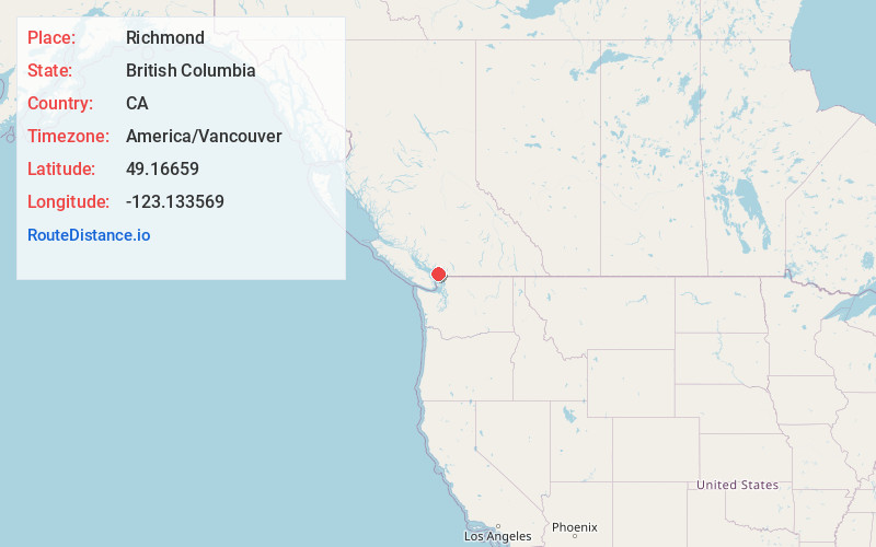
Full AddressRichmond, BC, Canada
-
Coordinates49.1665898, -123.133569
-
LocationRichmond , British Columbia , CA
-
TimezoneAmerica/Vancouver
-
Current Local Time8:46:07 AM America/VancouverSunday, June 15, 2025
-
Website
-
Page Views0
About Richmond
Richmond is a city in British Columbia, Canada, and the site of Vancouver International Airport. Known for its Asian influences, it’s home to the International Buddhist Temple, an elaborate complex resembling Beijing’s Forbidden City. Asian eateries and shops cluster in the Golden Village district. In the village of Steveston, the Gulf of Georgia Cannery has interactive exhibits on the local salmon-canning tradition.


Nearby Places
Found 10 places within 50 miles

Vancouver
8.0 mi
12.9 km
Vancouver, BC, Canada
Get directions

Point Roberts
12.8 mi
20.6 km
Point Roberts, WA
Get directions

Surrey
13.0 mi
20.9 km
Surrey, BC, Canada
Get directions

Blaine
21.2 mi
34.1 km
Blaine, WA
Get directions

Point Whitehorn
24.3 mi
39.1 km
Point Whitehorn, Birch Bay, WA
Get directions

Birch Bay
24.6 mi
39.6 km
Birch Bay, WA
Get directions

Kickerville
27.5 mi
44.3 km
Kickerville, WA 98248
Get directions

Custer
28.3 mi
45.5 km
Custer, WA
Get directions

Mountain View
30.4 mi
48.9 km
Mountain View, WA 98248
Get directions

Neptune Beach
31.0 mi
49.9 km
Neptune Beach, WA 98248
Get directions
Location Links
Local Weather
Weather Information
Coming soon!
Location Map
Static map view of Richmond, British Columbia
Browse Places by Distance
Places within specific distances from Richmond
Short Distances
Long Distances
Click any distance to see all places within that range from Richmond. Distances shown in miles (1 mile ≈ 1.61 kilometers).