Distance to Shelbiana, Kentucky

Calculating Your Route
Just a moment while we process your request...
Location Information
-
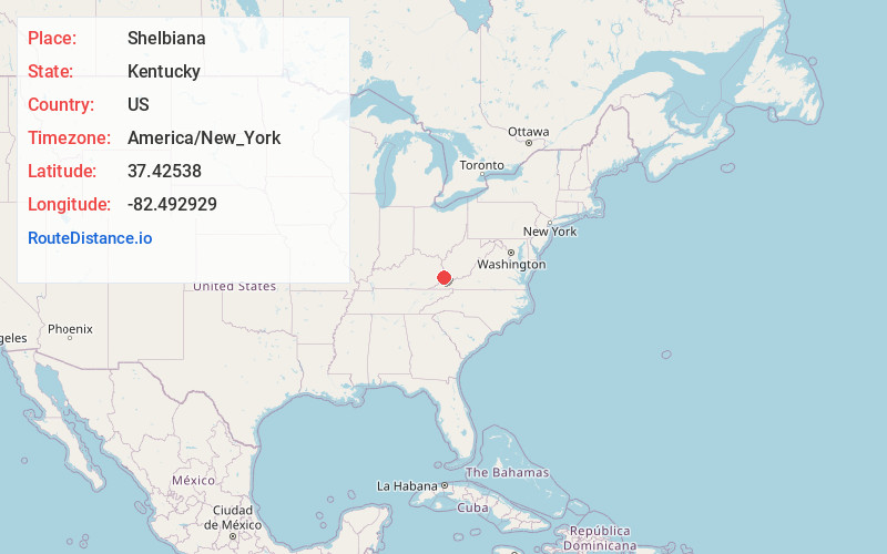
Full AddressShelbiana, KY 41562
-
Coordinates37.4253803, -82.4929293
-
LocationShelbiana , Kentucky , US
-
TimezoneAmerica/New_York
-
Current Local Time8:36:07 PM America/New_YorkWednesday, June 4, 2025
-
Page Views0
About Shelbiana
Shelbiana is an unincorporated community and coal town in Pike County, Kentucky, United States.
It houses the CSX railroad yard, the second-largest railroad yard in the state of Kentucky. Coal originating in this yard was shipped to multiple states and a few foreign countries.

Nearby Places
Found 10 places within 50 miles

Kewanee
1.8 mi
2.9 km
Kewanee, KY 41501
Get directions
Nelse
3.3 mi
5.3 km
Nelse, KY 41501
Get directions
Robinson Creek
3.6 mi
5.8 km
Robinson Creek, KY 41501
Get directions

Pikeville
4.0 mi
6.4 km
Pikeville, KY 41501
Get directions
Douglas
4.2 mi
6.8 km
Douglas, KY 41501
Get directions
Raccoon
5.4 mi
8.7 km
Raccoon, KY 41557
Get directions
Penny
6.0 mi
9.7 km
Penny, KY 41501
Get directions
Coal Run Village
7.1 mi
11.4 km
Coal Run Village, KY 41501
Get directions
Rockhouse
7.1 mi
11.4 km
Rockhouse, KY 41522
Get directions

Virgie
7.8 mi
12.6 km
Virgie, KY 41572
Get directions
Location Links
Local Weather
Weather Information
Coming soon!
Location Map
Static map view of Shelbiana, Kentucky
Browse Places by Distance
Places within specific distances from Shelbiana
Short Distances
Long Distances
Click any distance to see all places within that range from Shelbiana. Distances shown in miles (1 mile ≈ 1.61 kilometers).