Distance to Sheltontown, North Carolina

Calculating Your Route
Just a moment while we process your request...
Location Information
-
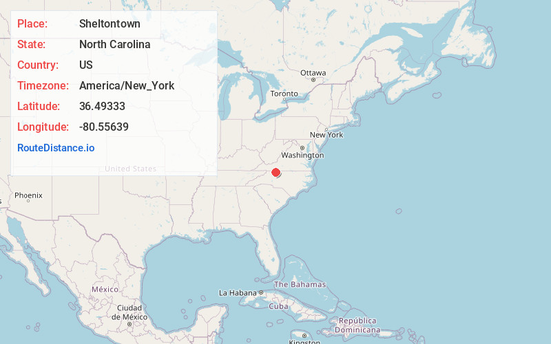
Full AddressSheltontown, NC 27030
-
Coordinates36.49333, -80.5563899
-
LocationSheltontown , North Carolina , US
-
TimezoneAmerica/New_York
-
Current Local Time8:06:53 PM America/New_YorkTuesday, June 24, 2025
-
Page Views0
About Sheltontown
Sheltontown is an unincorporated community located along North Carolina Highway 89 in northeast Surry County, North Carolina, United States, near the city of Mount Airy, just east of Bannertown. The community generally lies between Rutledge Creek and the Ararat River.
Nearby Places
Found 10 places within 50 miles

Mt Airy
2.8 mi
4.5 km
Mt Airy, NC 27030
Get directions

Toast
4.3 mi
6.9 km
Toast, NC 27030
Get directions
White Plains
5.4 mi
8.7 km
White Plains, NC 27030
Get directions
Mount Herman
5.6 mi
9.0 km
Mount Herman, NC 27030
Get directions
Ararat
6.2 mi
10.0 km
Ararat, NC 27007
Get directions
Ash Hill
7.0 mi
11.3 km
Ash Hill, NC 27007
Get directions

Ararat
7.7 mi
12.4 km
Ararat, VA 24053
Get directions

Asbury
8.1 mi
13.0 km
Asbury, NC 27030
Get directions

Pilot Mountain
8.8 mi
14.2 km
Pilot Mountain, NC 27041
Get directions
Carters Mill
8.9 mi
14.3 km
Carters Mill, VA 24053
Get directions
Location Links
Local Weather
Weather Information
Coming soon!
Location Map
Static map view of Sheltontown, North Carolina
Browse Places by Distance
Places within specific distances from Sheltontown
Short Distances
Long Distances
Click any distance to see all places within that range from Sheltontown. Distances shown in miles (1 mile ≈ 1.61 kilometers).