Distance to Shepardsville, Indiana

Calculating Your Route
Just a moment while we process your request...
Location Information
-
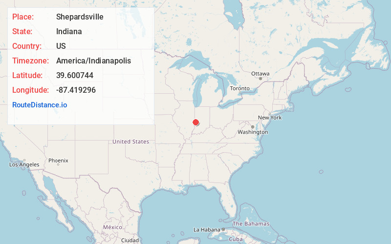
Full AddressShepardsville, IN
-
Coordinates39.6007437, -87.4192964
-
LocationShepardsville , Indiana , US
-
TimezoneAmerica/Indianapolis
-
Page Views0
About Shepardsville
Shepardsville is an unincorporated census-designated place in northeastern Fayette Township, Vigo County, in the U.S. state of Indiana. It lies along Trinity Ave. north of the city of Terre Haute, the county seat of Vigo County.
Nearby Places
Found 10 places within 50 miles

Universal
2.2 mi
3.5 km
Universal, IN
Get directions

Tecumseh
2.6 mi
4.2 km
Tecumseh, IN 47885
Get directions
New Goshen
2.7 mi
4.3 km
New Goshen, IN
Get directions

Clinton
4.1 mi
6.6 km
Clinton, IN 47842
Get directions
Lyford
4.3 mi
6.9 km
Lyford, IN 47874
Get directions
Libertyville
5.3 mi
8.5 km
Libertyville, IN 47885
Get directions
Fairview Park
5.7 mi
9.2 km
Fairview Park, IN 47842
Get directions

St Mary-Of-The-Woods
6.7 mi
10.8 km
St Mary-Of-The-Woods, IN
Get directions
Blanford
7.0 mi
11.3 km
Blanford, IN 47842
Get directions

Rosedale
7.4 mi
11.9 km
Rosedale, IN 47874
Get directions
Location Links
Local Weather
Weather Information
Coming soon!
Location Map
Static map view of Shepardsville, Indiana
Browse Places by Distance
Places within specific distances from Shepardsville
Short Distances
Long Distances
Click any distance to see all places within that range from Shepardsville. Distances shown in miles (1 mile ≈ 1.61 kilometers).