Distance to Sherard, Mississippi

Calculating Your Route
Just a moment while we process your request...
Location Information
-
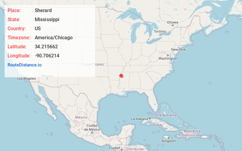
Full AddressSherard, MS 38614
-
Coordinates34.2156624, -90.7062136
-
LocationSherard , Mississippi , US
-
TimezoneAmerica/Chicago
-
Current Local Time12:38:08 PM America/ChicagoFriday, May 30, 2025
-
Page Views0
About Sherard
Sherard is an unincorporated community located in Coahoma County, Mississippi, United States. Sherard is located along Mississippi Highway 1, 6 miles west of Clarksdale.
Nearby Places
Found 10 places within 50 miles

Farrell
3.9 mi
6.3 km
Farrell, MS 38614
Get directions
Humber
4.5 mi
7.2 km
Humber, MS 38614
Get directions
Beverly
4.7 mi
7.6 km
Beverly, MS 38614
Get directions
Green Grove
4.8 mi
7.7 km
Green Grove, MS 38614
Get directions
Bobo
6.0 mi
9.7 km
Bobo, MS 38614
Get directions
Rena Lara
6.2 mi
10.0 km
Rena Lara, MS 38614
Get directions
Stovall
6.6 mi
10.6 km
Stovall, MS 38614
Get directions

Clarksdale
7.8 mi
12.6 km
Clarksdale, MS
Get directions
Dickerson
8.3 mi
13.4 km
Dickerson, MS 38614
Get directions

Alligator
8.7 mi
14.0 km
Alligator, MS 38720
Get directions
Location Links
Local Weather
Weather Information
Coming soon!
Location Map
Static map view of Sherard, Mississippi
Browse Places by Distance
Places within specific distances from Sherard
Short Distances
Long Distances
Click any distance to see all places within that range from Sherard. Distances shown in miles (1 mile ≈ 1.61 kilometers).