Distance to Sherbrooke, Quebec

Calculating Your Route
Just a moment while we process your request...
Location Information
-
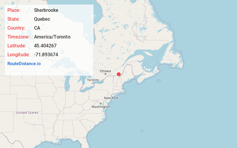
Full AddressSherbrooke, QC, Canada
-
Coordinates45.404267, -71.893674
-
LocationSherbrooke , Quebec , CA
-
TimezoneAmerica/Toronto
-
Current Local Time10:17:56 AM America/TorontoMonday, June 16, 2025
-
Website
-
Page Views0
About Sherbrooke
Sherbrooke is a city in southern Quebec, Canada. It is at the confluence of the Saint-François and Magog rivers in the heart of the Estrie administrative region.


Nearby Places
Found 10 places within 50 miles

Austin
24.2 mi
38.9 km
Austin, QC, Canada
Get directions

Norton
27.7 mi
44.6 km
Norton, VT
Get directions

Waterloo
30.5 mi
49.1 km
Waterloo, QC, Canada
Get directions
Holland
30.6 mi
49.2 km
Holland, VT
Get directions
Avery's
33.0 mi
53.1 km
Avery's, VT 05907
Get directions
Canaan
33.1 mi
53.3 km
Canaan, VT
Get directions

Derby
33.2 mi
53.4 km
Derby, VT
Get directions
Warner’s Grant
33.2 mi
53.4 km
Warner’s Grant, VT
Get directions

Stewartstown
33.2 mi
53.4 km
Stewartstown, NH 03576
Get directions
Warren's
34.2 mi
55.0 km
Warren's, VT 05907
Get directions
Location Links
Local Weather
Weather Information
Coming soon!
Location Map
Static map view of Sherbrooke, Quebec
Browse Places by Distance
Places within specific distances from Sherbrooke
Short Distances
Long Distances
Click any distance to see all places within that range from Sherbrooke. Distances shown in miles (1 mile ≈ 1.61 kilometers).