Distance to Sheridan, Nevada

Calculating Your Route
Just a moment while we process your request...
Location Information
-
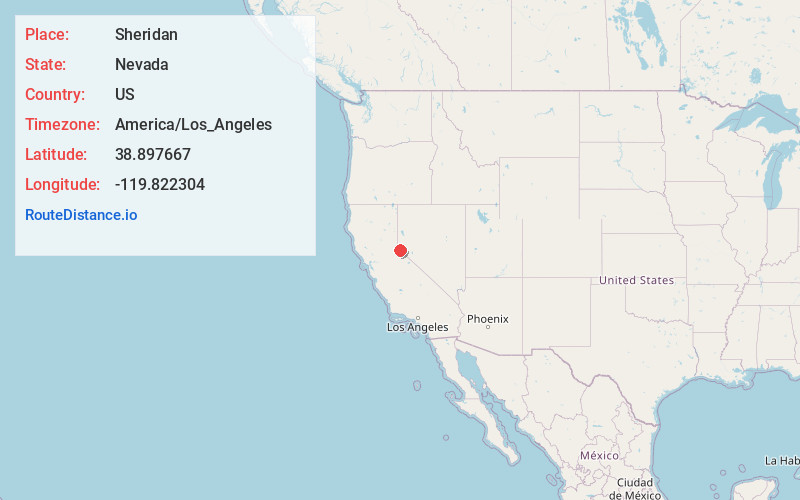
Full AddressSheridan, NV 89460
-
Coordinates38.897667, -119.822304
-
LocationSheridan , Nevada , US
-
TimezoneAmerica/Los_Angeles
-
Current Local Time6:29:24 AM America/Los_AngelesSaturday, June 21, 2025
-
Page Views0
About Sheridan
Sheridan is an unincorporated community in Douglas County, Nevada, United States. Sheridan is located on Nevada State Route 206 5 miles southwest of Minden.
Nearby Places
Found 10 places within 50 miles

Centerville
2.5 mi
4.0 km
Centerville, NV 89460
Get directions

Gardnerville Ranchos
4.4 mi
7.1 km
Gardnerville Ranchos, NV 89460
Get directions

Gardnerville
4.9 mi
7.9 km
Gardnerville, NV
Get directions

Minden
4.9 mi
7.9 km
Minden, NV 89423
Get directions

Dresslerville
5.7 mi
9.2 km
Dresslerville, NV 89460
Get directions

Mesa Vista
6.4 mi
10.3 km
Mesa Vista, CA 96120
Get directions
Ruhenstroth
7.0 mi
11.3 km
Ruhenstroth, NV 89410
Get directions
East Valley
7.1 mi
11.4 km
East Valley, NV
Get directions

Kingsbury
7.1 mi
11.4 km
Kingsbury, NV
Get directions

Genoa
7.5 mi
12.1 km
Genoa, NV
Get directions
Location Links
Local Weather
Weather Information
Coming soon!
Location Map
Static map view of Sheridan, Nevada
Browse Places by Distance
Places within specific distances from Sheridan
Short Distances
Long Distances
Click any distance to see all places within that range from Sheridan. Distances shown in miles (1 mile ≈ 1.61 kilometers).