Distance to Sheridan, Montana

Calculating Your Route
Just a moment while we process your request...
Location Information
-
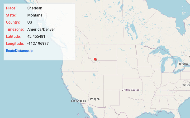
Full AddressSheridan, MT 59749
-
Coordinates45.4554809, -112.1969372
-
LocationSheridan , Montana , US
-
TimezoneAmerica/Denver
-
Current Local Time7:02:38 PM America/DenverTuesday, May 20, 2025
-
Page Views0
About Sheridan
Sheridan is a town in Madison County, Montana, United States named after the Civil War general Philip Sheridan. The population was 694 at the 2020 census. Sheridan is known as the "heart of the Ruby Valley."


Nearby Places
Found 8 places within 50 miles

Dillon
27.1 mi
43.6 km
Dillon, MT 59725
Get directions

Whitehall
29.0 mi
46.7 km
Whitehall, MT 59759
Get directions

Butte
41.2 mi
66.3 km
Butte, MT
Get directions

Three Forks
43.4 mi
69.8 km
Three Forks, MT 59752
Get directions

Wheatland
44.9 mi
72.3 km
Wheatland, MT 59752
Get directions

Big Sky
45.2 mi
72.7 km
Big Sky, MT
Get directions
Churchhill
47.7 mi
76.8 km
Churchhill, MT 59741
Get directions

Gallatin Gateway
49.3 mi
79.3 km
Gallatin Gateway, MT
Get directions
Location Links
Local Weather
Weather Information
Coming soon!
Location Map
Static map view of Sheridan, Montana
Browse Places by Distance
Places within specific distances from Sheridan
Short Distances
Long Distances
Click any distance to see all places within that range from Sheridan. Distances shown in miles (1 mile ≈ 1.61 kilometers).