Distance to Whitehall, Montana

Calculating Your Route
Just a moment while we process your request...
Location Information
-
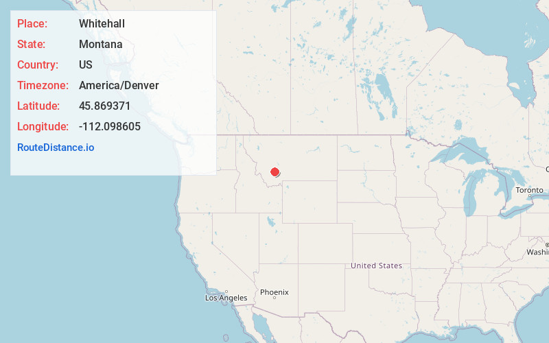
Full AddressWhitehall, MT 59759
-
Coordinates45.8693709, -112.0986053
-
LocationWhitehall , Montana , US
-
TimezoneAmerica/Denver
-
Current Local Time11:31:53 PM America/DenverThursday, June 19, 2025
-
Page Views0
About Whitehall
Whitehall is a town in Jefferson County, Montana, United States. The population was 1,006 at the 2020 census. It is part of the Helena Micropolitan Statistical Area.


Nearby Places
Found 10 places within 50 miles

Butte
22.9 mi
36.9 km
Butte, MT
Get directions

Boulder
25.4 mi
40.9 km
Boulder, MT 59632
Get directions

Three Forks
26.3 mi
42.3 km
Three Forks, MT 59752
Get directions

Manhattan
36.9 mi
59.4 km
Manhattan, MT 59741
Get directions

Clancy
41.5 mi
66.8 km
Clancy, MT 59634
Get directions

Townsend
41.6 mi
66.9 km
Townsend, MT 59644
Get directions

Anaconda
44.5 mi
71.6 km
Anaconda, MT
Get directions

Belgrade
44.8 mi
72.1 km
Belgrade, MT
Get directions

Four Corners
46.2 mi
74.4 km
Four Corners, MT 59718
Get directions

Montana City
46.9 mi
75.5 km
Montana City, MT
Get directions
Location Links
Local Weather
Weather Information
Coming soon!
Location Map
Static map view of Whitehall, Montana
Browse Places by Distance
Places within specific distances from Whitehall
Short Distances
Long Distances
Click any distance to see all places within that range from Whitehall. Distances shown in miles (1 mile ≈ 1.61 kilometers).