Distance to Sherman County, Kansas

Calculating Your Route
Just a moment while we process your request...
Location Information
-
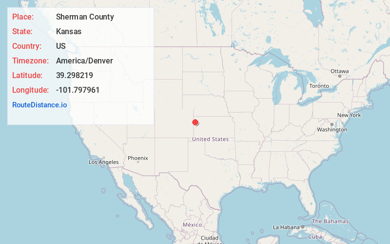
Full AddressSherman County, KS
-
Coordinates39.2982189, -101.7979613
-
LocationKansas , US
-
TimezoneAmerica/Denver
-
Current Local Time12:57:25 PM America/DenverThursday, June 19, 2025
-
Page Views0
About Sherman County
Sherman County is a county located in the U.S. state of Kansas. Its county seat is Goodland. As of the 2020 census, the county population was 5,927. Sherman County was created by the Legislature of 1873, and named after general William Sherman, a general during the American Civil War.


Nearby Places
Found 10 places within 50 miles

Goodland
5.9 mi
9.5 km
Goodland, KS 67735
Get directions
Kanorado
13.1 mi
21.1 km
Kanorado, KS 67741
Get directions

Edson
13.7 mi
22.0 km
Edson, KS 67733
Get directions
Peconic
18.8 mi
30.3 km
Peconic, CO 80807
Get directions
Brewster
23.0 mi
37.0 km
Brewster, KS 67732
Get directions

Burlington
25.2 mi
40.6 km
Burlington, CO 80807
Get directions

Sharon Springs
27.8 mi
44.7 km
Sharon Springs, KS 67758
Get directions
Wallace
28.9 mi
46.5 km
Wallace, KS 67761
Get directions

Weskan
31.1 mi
50.1 km
Weskan, KS 67762
Get directions
Levant
32.7 mi
52.6 km
Levant, KS 67743
Get directions
Location Links
Local Weather
Weather Information
Coming soon!
Location Map
Static map view of Sherman County, Kansas
Browse Places by Distance
Places within specific distances from Sherman County
Short Distances
Long Distances
Click any distance to see all places within that range from Sherman County. Distances shown in miles (1 mile ≈ 1.61 kilometers).