Distance to Shestak, Nebraska

Calculating Your Route
Just a moment while we process your request...
Location Information
-
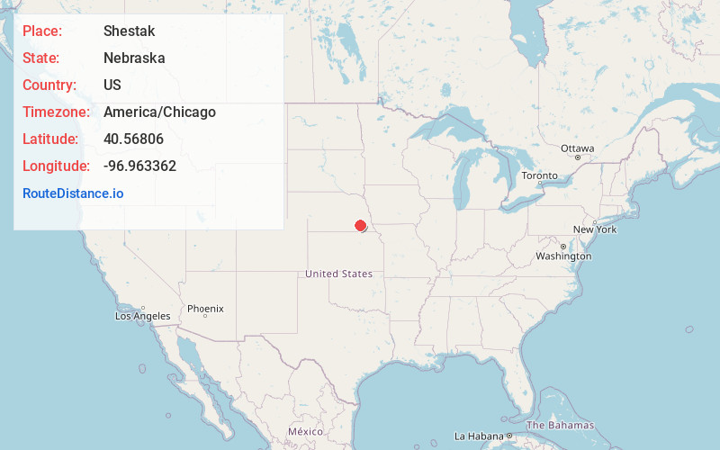
Full AddressShestak, Big Blue Precinct, NE 68333
-
Coordinates40.5680599, -96.9633619
-
LocationBig Blue Precinct , Nebraska , US
-
TimezoneAmerica/Chicago
-
Current Local Time10:54:48 PM America/ChicagoThursday, June 19, 2025
-
Page Views0
About Shestak
Shestak is an unincorporated community in Saline County, Nebraska, United States. The community is located on Nebraska Highway 103 three miles south of Crete. The Big Blue River flows past, approximately one-half mile to the east of the community.
Nearby Places
Found 10 places within 50 miles

Crete
4.0 mi
6.4 km
Crete, NE 68333
Get directions

Kramer
4.8 mi
7.7 km
Kramer, NE 68333
Get directions

Wilber
6.0 mi
9.7 km
Wilber, NE 68465
Get directions

Clatonia
9.2 mi
14.8 km
Clatonia, NE 68328
Get directions

Hallam
9.5 mi
15.3 km
Hallam, NE 68368
Get directions

Dorchester
9.7 mi
15.6 km
Dorchester, NE 68343
Get directions
Martell
11.8 mi
19.0 km
Martell, NE 68404
Get directions

Sprague
12.1 mi
19.5 km
Sprague, NE
Get directions

De Witt
12.2 mi
19.6 km
De Witt, NE 68341
Get directions

Denton
13.3 mi
21.4 km
Denton, NE 68339
Get directions
Location Links
Local Weather
Weather Information
Coming soon!
Location Map
Static map view of Shestak, Nebraska
Browse Places by Distance
Places within specific distances from Shestak
Short Distances
Long Distances
Click any distance to see all places within that range from Shestak. Distances shown in miles (1 mile ≈ 1.61 kilometers).