Distance to Shields, Kansas

Calculating Your Route
Just a moment while we process your request...
Location Information
-
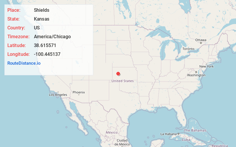
Full AddressShields, KS 67839
-
Coordinates38.6155707, -100.4451373
-
LocationShields , Kansas , US
-
TimezoneAmerica/Chicago
-
Current Local Time11:58:23 AM America/ChicagoWednesday, June 18, 2025
-
Page Views0
About Shields
Shields is an unincorporated community in Lane County, Kansas, United States.
Nearby Places
Found 10 places within 50 miles

Healy
9.3 mi
15.0 km
Healy, KS 67850
Get directions
Dighton
9.3 mi
15.0 km
Dighton, KS 67839
Get directions
Utica
15.0 mi
24.1 km
Utica, KS 67584
Get directions
Alanthus
16.1 mi
25.9 km
Alanthus, KS 67584
Get directions

Gove City
23.8 mi
38.3 km
Gove City, KS 67736
Get directions

Scott City
26.6 mi
42.8 km
Scott City, KS 67871
Get directions

Ransom
27.6 mi
44.4 km
Ransom, KS 67572
Get directions

Ness City
31.2 mi
50.2 km
Ness City, KS 67560
Get directions
Osgood
32.6 mi
52.5 km
Osgood, Nevada Township, KS 67572
Get directions

Quinter
33.4 mi
53.8 km
Quinter, KS 67752
Get directions
Location Links
Local Weather
Weather Information
Coming soon!
Location Map
Static map view of Shields, Kansas
Browse Places by Distance
Places within specific distances from Shields
Short Distances
Long Distances
Click any distance to see all places within that range from Shields. Distances shown in miles (1 mile ≈ 1.61 kilometers).