Distance to Shieldsville, Minnesota

Calculating Your Route
Just a moment while we process your request...
Location Information
-
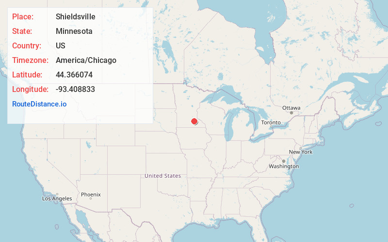
Full AddressShieldsville, MN 55021
-
Coordinates44.3660744, -93.4088334
-
LocationShieldsville , Minnesota , US
-
TimezoneAmerica/Chicago
-
Current Local Time11:58:18 AM America/ChicagoThursday, June 19, 2025
-
Page Views0
About Shieldsville
Shieldsville is an unincorporated community in Shieldsville Township, Rice County, Minnesota, United States.
The center of Shieldsville is generally considered near the junction of State Highway 21 and Rice County Road 10. Other routes include County Roads 37, 38, and 67.

Nearby Places
Found 10 places within 50 miles

Lonsdale
7.9 mi
12.7 km
Lonsdale, MN 55046
Get directions

Warsaw
8.1 mi
13.0 km
Warsaw, MN
Get directions

Faribault
8.5 mi
13.7 km
Faribault, MN 55021
Get directions
Kilkenny
8.9 mi
14.3 km
Kilkenny, MN
Get directions

Morristown
9.8 mi
15.8 km
Morristown, MN 55052
Get directions

Montgomery
9.9 mi
15.9 km
Montgomery, MN 56069
Get directions

Dundas
11.1 mi
17.9 km
Dundas, MN
Get directions

Waterville
12.9 mi
20.8 km
Waterville, MN 56096
Get directions

Northfield
13.8 mi
22.2 km
Northfield, MN 55057
Get directions
Heidelberg
13.8 mi
22.2 km
Heidelberg, MN 56071
Get directions
Location Links
Local Weather
Weather Information
Coming soon!
Location Map
Static map view of Shieldsville, Minnesota
Browse Places by Distance
Places within specific distances from Shieldsville
Short Distances
Long Distances
Click any distance to see all places within that range from Shieldsville. Distances shown in miles (1 mile ≈ 1.61 kilometers).