Distance to Shirley, Massachusetts

Calculating Your Route
Just a moment while we process your request...
Location Information
-
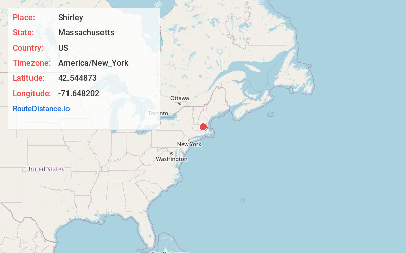
Full AddressShirley, MA
-
Coordinates42.5448725, -71.648202
-
LocationShirley , Massachusetts , US
-
TimezoneAmerica/New_York
-
Current Local Time9:35:51 AM America/New_YorkTuesday, June 24, 2025
-
Website
-
Page Views0
About Shirley
Shirley is a town in Middlesex County, Massachusetts, United States. It is approximately thirty miles west-northwest of Boston. The population was 7,431 at the 2020 census. The town has a well-preserved historic New England town center.


Nearby Places
Found 10 places within 50 miles

Ayer
3.1 mi
5.0 km
Ayer, MA
Get directions

Leominster
5.8 mi
9.3 km
Leominster, MA
Get directions

Groton
5.9 mi
9.5 km
Groton, MA
Get directions

Lunenburg
6.0 mi
9.7 km
Lunenburg, MA 01462
Get directions

Lancaster
6.4 mi
10.3 km
Lancaster, MA
Get directions

Littleton
6.9 mi
11.1 km
Littleton, MA
Get directions

Fitchburg
8.3 mi
13.4 km
Fitchburg, MA 01420
Get directions

Clinton
8.6 mi
13.8 km
Clinton, MA
Get directions

Pepperell
8.9 mi
14.3 km
Pepperell, MA 01463
Get directions

Townsend
8.9 mi
14.3 km
Townsend, MA
Get directions
Location Links
Local Weather
Weather Information
Coming soon!
Location Map
Static map view of Shirley, Massachusetts
Browse Places by Distance
Places within specific distances from Shirley
Short Distances
Long Distances
Click any distance to see all places within that range from Shirley. Distances shown in miles (1 mile ≈ 1.61 kilometers).