Distance to Shonto, Arizona

Calculating Your Route
Just a moment while we process your request...
Location Information
-
Full AddressShonto, AZ 86054
-
Coordinates36.5882755, -110.6586087
-
LocationShonto , Arizona , US
-
TimezoneAmerica/Denver
-
Current Local Time8:20:19 AM America/DenverFriday, May 23, 2025
-
Website
-
Page Views0
About Shonto
Shonto is a census-designated place in Navajo County, Arizona, United States, on the Navajo Nation. The population was 591 at the 2010 census.


Nearby Places
Found 10 places within 50 miles

Kaibito
24.2 mi
38.9 km
Kaibito, AZ 86053
Get directions

Kayenta
24.4 mi
39.3 km
Kayenta, AZ 86033
Get directions

Red Lake
24.5 mi
39.4 km
Red Lake, Tonalea, AZ 86044
Get directions

Navajo Mountain
30.7 mi
49.4 km
Navajo Mountain, UT 86044
Get directions

Chilchinbito
32.3 mi
52.0 km
Chilchinbito, AZ 86033
Get directions

Oljato
39.3 mi
63.2 km
Oljato
Get directions

Pinon
41.4 mi
66.6 km
Pinon, AZ 86510
Get directions

Tuba City
45.0 mi
72.4 km
Tuba City, AZ 86045
Get directions

Rough Rock
45.4 mi
73.1 km
Rough Rock, AZ 86503
Get directions

Moenkopi
45.5 mi
73.2 km
Moenkopi, AZ 86045
Get directions
Location Links
Local Weather
Weather Information
Coming soon!
Location Map
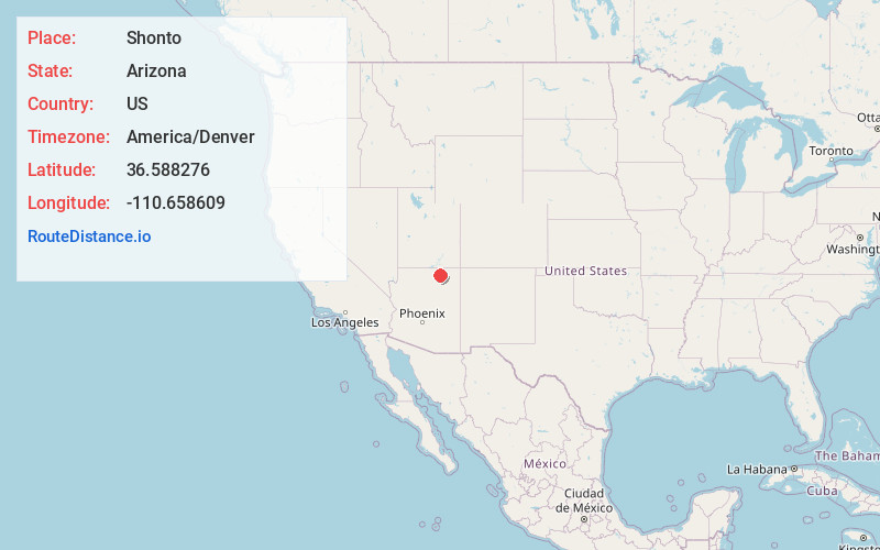
Static map view of Shonto, Arizona
Browse Places by Distance
Places within specific distances from Shonto
Short Distances
Long Distances
Click any distance to see all places within that range from Shonto. Distances shown in miles (1 mile ≈ 1.61 kilometers).