Distance to Shoshone, Nevada

Calculating Your Route
Just a moment while we process your request...
Location Information
-
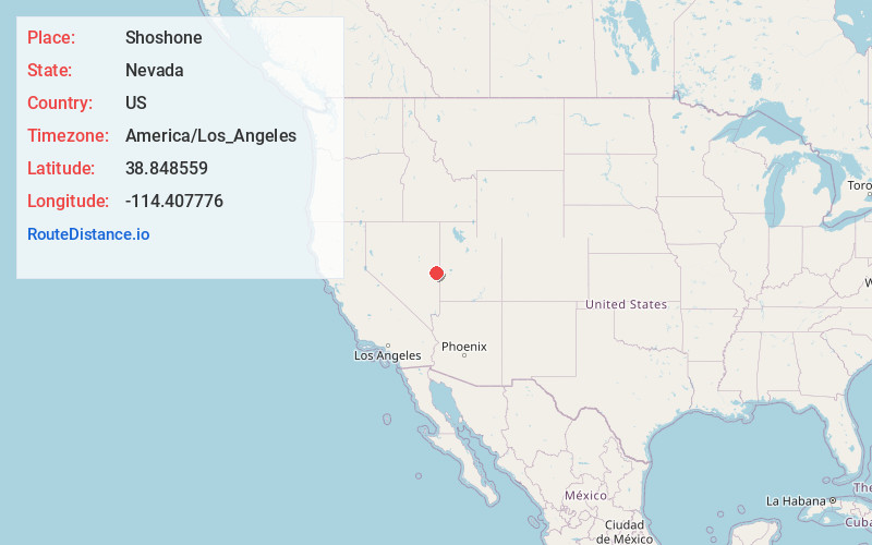
Full AddressShoshone, NV 89301
-
Coordinates38.8485593, -114.4077757
-
LocationNevada , US
-
TimezoneAmerica/Los_Angeles
-
Current Local Time1:28:03 PM America/Los_AngelesThursday, June 19, 2025
-
Page Views0
About Shoshone
Shoshone is a rural, unincorporated community in White Pine County, Nevada. It is at the south end of State Route 894, off of U.S. Route 93, just west of Great Basin National Park. The community consists of approximately nine ranches situated one to three miles apart in a long valley.

Nearby Places
Found 10 places within 50 miles

Minerva
1.6 mi
2.6 km
Minerva, NV 89301
Get directions
Hogum
14.4 mi
23.2 km
Hogum, NV 89311
Get directions
Osceola
16.8 mi
27.0 km
Osceola, NV 89311
Get directions

Baker
19.0 mi
30.6 km
Baker, NV 89311
Get directions
Gouge Eye Spring
21.0 mi
33.8 km
Gouge Eye Spring, Nevada 89043
Get directions
Garrison
21.1 mi
34.0 km
Garrison, UT
Get directions
Atlanta
26.8 mi
43.1 km
Atlanta, NV 89043
Get directions

Eskdale
30.3 mi
48.8 km
Eskdale, UT 84728
Get directions

Lund
32.3 mi
52.0 km
Lund, NV 89317
Get directions

Preston
35.4 mi
57.0 km
Preston, NV
Get directions
Location Links
Local Weather
Weather Information
Coming soon!
Location Map
Static map view of Shoshone, Nevada
Browse Places by Distance
Places within specific distances from Shoshone
Short Distances
Long Distances
Click any distance to see all places within that range from Shoshone. Distances shown in miles (1 mile ≈ 1.61 kilometers).