Distance to Shoulderbone Creek, Georgia

Calculating Your Route
Just a moment while we process your request...
Location Information
-
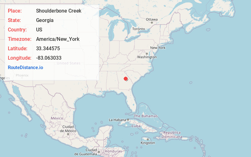
Full AddressShoulderbone Creek, Georgia 31087
-
Coordinates33.3445746, -83.0630329
-
LocationGeorgia , US
-
TimezoneAmerica/New_York
-
Current Local Time7:09:12 AM America/New_YorkWednesday, June 18, 2025
-
Page Views0
Nearby Places
Found 10 places within 50 miles

Howell Grove
2.1 mi
3.4 km
Howell Grove, GA 31087
Get directions

Sparta
6.9 mi
11.1 km
Sparta, GA 31087
Get directions
Devereux
8.5 mi
13.7 km
Devereux, GA 31087
Get directions
White Plains
9.0 mi
14.5 km
White Plains, GA 30678
Get directions
Rockville
9.1 mi
14.6 km
Rockville, GA 31024
Get directions

Veazey
11.9 mi
19.2 km
Veazey, GA 30642
Get directions

Siloam
13.3 mi
21.4 km
Siloam, GA 30642
Get directions
Sandtown
14.7 mi
23.7 km
Sandtown, GA 31061
Get directions
Mayfield
15.2 mi
24.5 km
Mayfield, GA 31087
Get directions

Linton
16.3 mi
26.2 km
Linton, GA 31087
Get directions
Location Links
Local Weather
Weather Information
Coming soon!
Location Map
Static map view of Shoulderbone Creek, Georgia
Browse Places by Distance
Places within specific distances from Shoulderbone Creek
Short Distances
Long Distances
Click any distance to see all places within that range from Shoulderbone Creek. Distances shown in miles (1 mile ≈ 1.61 kilometers).