Distance to Siloam, Georgia

Calculating Your Route
Just a moment while we process your request...
Location Information
-
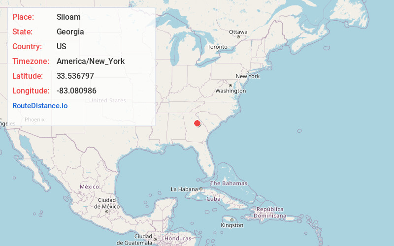
Full AddressSiloam, GA 30642
-
Coordinates33.5367968, -83.0809864
-
LocationSiloam , Georgia , US
-
TimezoneAmerica/New_York
-
Current Local Time8:00:36 AM America/New_YorkSunday, June 22, 2025
-
Page Views0
About Siloam
Siloam is a town in Greene County, Georgia, United States. The population was 282 at the 2010 census, down from 331 in 2000.


Nearby Places
Found 10 places within 50 miles

Union Point
5.5 mi
8.9 km
Union Point, GA 30669
Get directions

Greensboro
6.4 mi
10.3 km
Greensboro, GA 30642
Get directions

Crawfordville
10.7 mi
17.2 km
Crawfordville, GA 30631
Get directions

Maxeys
15.9 mi
25.6 km
Maxeys, GA
Get directions

Sparta
19.0 mi
30.6 km
Sparta, GA 31087
Get directions

Madison
22.6 mi
36.4 km
Madison, GA 30650
Get directions

Eatonton
22.9 mi
36.9 km
Eatonton, GA 31024
Get directions

Lexington
23.1 mi
37.2 km
Lexington, GA 30648
Get directions

Washington
24.0 mi
38.6 km
Washington, GA 30673
Get directions

Crawford
24.3 mi
39.1 km
Crawford, GA 30630
Get directions
Location Links
Local Weather
Weather Information
Coming soon!
Location Map
Static map view of Siloam, Georgia
Browse Places by Distance
Places within specific distances from Siloam
Short Distances
Long Distances
Click any distance to see all places within that range from Siloam. Distances shown in miles (1 mile ≈ 1.61 kilometers).