Distance to Shuler, Arkansas

Calculating Your Route
Just a moment while we process your request...
Location Information
-
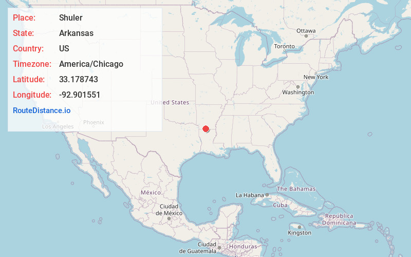
Full AddressShuler, AR 71730
-
Coordinates33.1787431, -92.9015508
-
LocationArkansas , US
-
TimezoneAmerica/Chicago
-
Current Local Time2:02:50 AM America/ChicagoFriday, June 20, 2025
-
Page Views0
Nearby Places
Found 10 places within 50 miles

Spotville
6.9 mi
11.1 km
Spotville, AR 71753
Get directions
Lisbon
7.8 mi
12.6 km
Lisbon, AR 71730
Get directions

Newell
9.1 mi
14.6 km
Newell, AR 71730
Get directions
Mt Holly
9.3 mi
15.0 km
Mt Holly, AR
Get directions
Parkers Chapel
10.4 mi
16.7 km
Parkers Chapel, AR 71730
Get directions
Foster Hill
10.8 mi
17.4 km
Foster Hill, AR 71730
Get directions
Noxobe
12.0 mi
19.3 km
Noxobe, AR 71740
Get directions
Cornie
12.7 mi
20.4 km
Cornie, AR 71749
Get directions

El Dorado
13.8 mi
22.2 km
El Dorado, AR 71730
Get directions
Owens
13.8 mi
22.2 km
Owens, AR 71740
Get directions
Location Links
Local Weather
Weather Information
Coming soon!
Location Map
Static map view of Shuler, Arkansas
Browse Places by Distance
Places within specific distances from Shuler
Short Distances
Long Distances
Click any distance to see all places within that range from Shuler. Distances shown in miles (1 mile ≈ 1.61 kilometers).