Distance to Silver Bell, Arizona

Calculating Your Route
Just a moment while we process your request...
Location Information
-
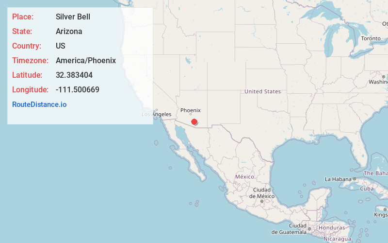
Full AddressSilver Bell, AZ 85653
-
Coordinates32.3834038, -111.5006693
-
LocationArizona , US
-
TimezoneAmerica/Phoenix
-
Current Local Time10:29:12 AM America/PhoenixThursday, June 19, 2025
-
Page Views0
About Silver Bell
Silver Bell is a ghost town in the Silver Bell Mountains in Pima County, Arizona, United States. The name "Silver Bell" refers to a more recent ghost town, which was established in 1954 and abandoned in 1984. The original town, established in 1904, was named "Silverbell" and abandoned in the early 1930s.
Nearby Places
Found 10 places within 50 miles

Avra Valley
11.4 mi
18.3 km
Avra Valley, AZ 85653
Get directions

Dobson
13.6 mi
21.9 km
Dobson, AZ 85653
Get directions
Nelson
13.9 mi
22.4 km
Nelson, AZ 85653
Get directions

Picture Rocks
15.1 mi
24.3 km
Picture Rocks, AZ
Get directions
Naviska
16.2 mi
26.1 km
Naviska, Marana, AZ 85658
Get directions

Red Rock
16.5 mi
26.6 km
Red Rock, AZ
Get directions

Marana
16.6 mi
26.7 km
Marana, AZ
Get directions

Wymola
19.8 mi
31.9 km
Wymola, AZ
Get directions

Rillito
20.3 mi
32.7 km
Rillito, AZ 85653
Get directions

Picacho
22.8 mi
36.7 km
Picacho, AZ
Get directions
Location Links
Local Weather
Weather Information
Coming soon!
Location Map
Static map view of Silver Bell, Arizona
Browse Places by Distance
Places within specific distances from Silver Bell
Short Distances
Long Distances
Click any distance to see all places within that range from Silver Bell. Distances shown in miles (1 mile ≈ 1.61 kilometers).