Distance to Silver Falls State Park, Oregon

Calculating Your Route
Just a moment while we process your request...
Location Information
-
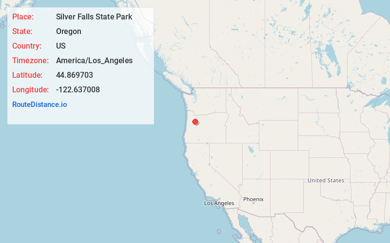
Full AddressSilver Falls State Park, Oregon
-
Coordinates44.8697025, -122.6370075
-
LocationOregon , US
-
TimezoneAmerica/Los_Angeles
-
Current Local Time2:17:40 PM America/Los_AngelesThursday, June 12, 2025
-
Page Views0
About Silver Falls State Park
Serene park featuring 10 waterfalls on a 7.2-mile loop trail (no pets allowed), plus campsites.


Nearby Places
Found 10 places within 50 miles

Drake Crossing
4.0 mi
6.4 km
Drake Crossing, OR 97381
Get directions
Mehama
5.6 mi
9.0 km
Mehama, OR
Get directions

Lyons
6.7 mi
10.8 km
Lyons, OR 97358
Get directions

Sublimity
8.2 mi
13.2 km
Sublimity, OR 97385
Get directions
Fox Valley
8.7 mi
14.0 km
Fox Valley, OR 97358
Get directions
Kingston
9.0 mi
14.5 km
Kingston, OR 97383
Get directions

Stayton
9.1 mi
14.6 km
Stayton, OR
Get directions
Jordan
10.3 mi
16.6 km
Jordan, OR 97374
Get directions

Mill City
11.2 mi
18.0 km
Mill City, OR
Get directions

Shaw
11.5 mi
18.5 km
Shaw, OR 97325
Get directions
Location Links
Local Weather
Weather Information
Coming soon!
Location Map
Static map view of Silver Falls State Park, Oregon
Browse Places by Distance
Places within specific distances from Silver Falls State Park
Short Distances
Long Distances
Click any distance to see all places within that range from Silver Falls State Park. Distances shown in miles (1 mile ≈ 1.61 kilometers).