Distance to Simonton, Texas

Calculating Your Route
Just a moment while we process your request...
Location Information
-
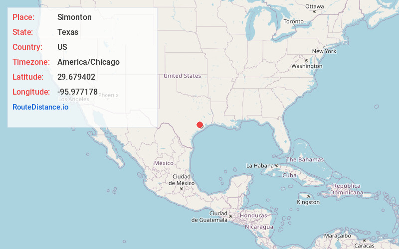
Full AddressSimonton, TX
-
Coordinates29.679402, -95.977178
-
LocationSimonton , Texas , US
-
TimezoneAmerica/Chicago
-
Current Local Time1:04:46 PM America/ChicagoTuesday, May 27, 2025
-
Page Views0
About Simonton
Simonton is a city in Fort Bend County, Texas, United States, within the Houston–Sugar Land–Baytown metropolitan area. Simonton is located at the intersection of Farm roads 1093 and 1489, approximately fourteen miles northwest of Richmond and five miles west of Fulshear.

Nearby Places
Found 10 places within 50 miles

Fulshear
4.7 mi
7.6 km
Fulshear, TX
Get directions

Wallis
6.2 mi
10.0 km
Wallis, TX 77485
Get directions

Brookshire
7.5 mi
12.1 km
Brookshire, TX 77423
Get directions

San Felipe
10.8 mi
17.4 km
San Felipe, TX
Get directions

East Bernard
11.7 mi
18.8 km
East Bernard, TX 77435
Get directions

Katy
11.7 mi
18.8 km
Katy, TX
Get directions

Sealy
12.9 mi
20.8 km
Sealy, TX 77474
Get directions
Cumings
12.9 mi
20.8 km
Cumings, TX
Get directions

Beasley
13.1 mi
21.1 km
Beasley, TX 77417
Get directions

Rosenberg
13.2 mi
21.2 km
Rosenberg, TX
Get directions
Location Links
Local Weather
Weather Information
Coming soon!
Location Map
Static map view of Simonton, Texas
Browse Places by Distance
Places within specific distances from Simonton
Short Distances
Long Distances
Click any distance to see all places within that range from Simonton. Distances shown in miles (1 mile ≈ 1.61 kilometers).