Distance to Katy, Texas

Calculating Your Route
Just a moment while we process your request...
Location Information
-
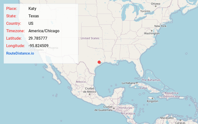
Full AddressKaty, TX
-
Coordinates29.7857765, -95.8245093
-
LocationKaty , Texas , US
-
TimezoneAmerica/Chicago
-
Current Local Time10:31:19 PM America/ChicagoTuesday, June 3, 2025
-
Website
-
Page Views0
About Katy
Katy is a city just west of Houston, in Texas. The Katy Heritage Society Railroad Museum has train-related exhibits in a restored depot, with an old caboose railroad car outside. The Katy Heritage Museum features vintage farming equipment and antiques. Leafy Mary Jo Peckham Park is dominated by a fish-filled lake. Katy Park holds baseball fields and spacious picnic areas.


Nearby Places
Found 10 places within 50 miles

Mission Bend
11.5 mi
18.5 km
Mission Bend, TX
Get directions

Pecan Grove
12.4 mi
20.0 km
Pecan Grove, TX 77406
Get directions

Rosenberg
15.8 mi
25.4 km
Rosenberg, TX
Get directions

Sugar Land
17.7 mi
28.5 km
Sugar Land, TX
Get directions

Missouri City
21.9 mi
35.2 km
Missouri City, TX
Get directions

Houston
27.3 mi
43.9 km
Houston, TX
Get directions

Fresno
28.3 mi
45.5 km
Fresno, TX
Get directions

Spring
31.8 mi
51.2 km
Spring, TX 77373
Get directions

The Woodlands
34.1 mi
54.9 km
The Woodlands, TX
Get directions

Pearland
35.8 mi
57.6 km
Pearland, TX
Get directions
Location Links
Local Weather
Weather Information
Coming soon!
Location Map
Static map view of Katy, Texas
Browse Places by Distance
Places within specific distances from Katy
Short Distances
Long Distances
Click any distance to see all places within that range from Katy. Distances shown in miles (1 mile ≈ 1.61 kilometers).