Distance to Fresno, Texas

Calculating Your Route
Just a moment while we process your request...
Location Information
-
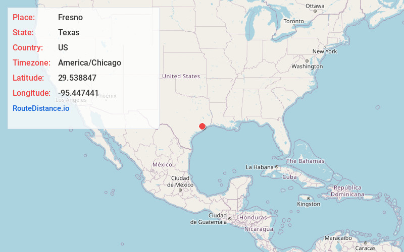
Full AddressFresno, TX
-
Coordinates29.5388465, -95.4474414
-
LocationFresno , Texas , US
-
TimezoneAmerica/Chicago
-
Current Local Time11:50:59 PM America/ChicagoWednesday, June 18, 2025
-
Page Views0
About Fresno
Fresno is an unincorporated community and census-designated place in Fort Bend County, Texas, United States. The local population was 24,486 as of the 2020 census, an increase over the figure of 19,069 tabulated in 2010 census, and 6,603 at the 2000 census.


Nearby Places
Found 10 places within 50 miles

Missouri City
6.5 mi
10.5 km
Missouri City, TX
Get directions

Pearland
9.9 mi
15.9 km
Pearland, TX
Get directions

Sugar Land
11.3 mi
18.2 km
Sugar Land, TX
Get directions

Alvin
14.6 mi
23.5 km
Alvin, TX
Get directions

Friendswood
14.8 mi
23.8 km
Friendswood, TX
Get directions

Houston
16.0 mi
25.7 km
Houston, TX
Get directions

Mission Bend
16.9 mi
27.2 km
Mission Bend, TX
Get directions

Pecan Grove
18.1 mi
29.1 km
Pecan Grove, TX 77406
Get directions

Pasadena
18.5 mi
29.8 km
Pasadena, TX
Get directions

League City
21.4 mi
34.4 km
League City, TX
Get directions
Location Links
Local Weather
Weather Information
Coming soon!
Location Map
Static map view of Fresno, Texas
Browse Places by Distance
Places within specific distances from Fresno
Short Distances
Long Distances
Click any distance to see all places within that range from Fresno. Distances shown in miles (1 mile ≈ 1.61 kilometers).