Distance to Simpson, South Carolina

Calculating Your Route
Just a moment while we process your request...
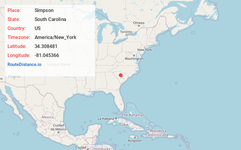
Location Information
-
Full AddressSimpson, SC 29130
-
Coordinates34.3084805, -81.0453662
-
LocationSouth Carolina , US
-
TimezoneAmerica/New_York
-
Current Local Time8:00:18 AM America/New_YorkSaturday, June 14, 2025
-
Page Views0
Nearby Places
Found 10 places within 50 miles

Ridgeway
4.9 mi
7.9 km
Ridgeway, SC 29130
Get directions

Winnsboro
5.5 mi
8.9 km
Winnsboro, SC 29180
Get directions

Blythewood
7.7 mi
12.4 km
Blythewood, SC
Get directions

Bucklick
12.8 mi
20.6 km
Bucklick, SC 29180
Get directions

Jenkinsville
14.1 mi
22.7 km
Jenkinsville, SC 29065
Get directions
Douglass
15.6 mi
25.1 km
Douglass, SC 29014
Get directions
Frost
16.2 mi
26.1 km
Frost, SC 29203
Get directions
Salem Crossroads
16.4 mi
26.4 km
Salem Crossroads, SC 29015
Get directions

Peak
16.6 mi
26.7 km
Peak, SC
Get directions
Parr
16.7 mi
26.9 km
Parr, SC 29126
Get directions
Location Links
Local Weather
Weather Information
Coming soon!
Location Map
Static map view of Simpson, South Carolina
Browse Places by Distance
Places within specific distances from Simpson
Short Distances
Long Distances
Click any distance to see all places within that range from Simpson. Distances shown in miles (1 mile ≈ 1.61 kilometers).