Distance to Skullbone, Tennessee

Calculating Your Route
Just a moment while we process your request...
Location Information
-
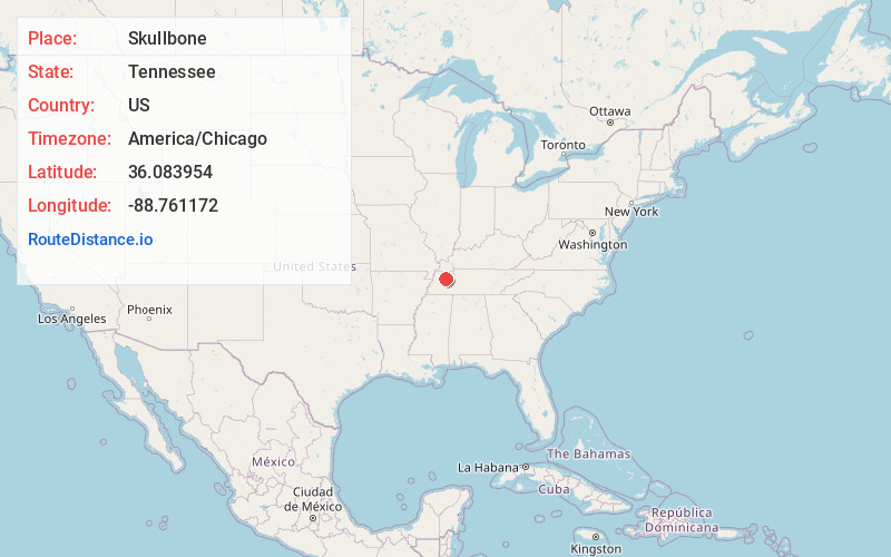
Full AddressSkullbone, TN 38316
-
Coordinates36.0839539, -88.7611715
-
LocationTennessee , US
-
TimezoneAmerica/Chicago
-
Current Local Time12:15:21 AM America/ChicagoWednesday, June 25, 2025
-
Page Views0
About Skullbone
Skullbone is an unincorporated community in Gibson County, Tennessee, United States. It is located to the east of Bradford and is centered on Tennessee State Route 105. It was also known as North Gibson and Skin Bone.

Nearby Places
Found 10 places within 50 miles

Bradford
2.8 mi
4.5 km
Bradford, TN 38316
Get directions
Holly Leaf
4.4 mi
7.1 km
Holly Leaf, TN 38220
Get directions
Idlewild
4.6 mi
7.4 km
Idlewild, TN 38316
Get directions
Crowley Store
5.3 mi
8.5 km
Crowley Store, TN 38230
Get directions

Greenfield
5.3 mi
8.5 km
Greenfield, TN 38230
Get directions
Gann
5.4 mi
8.7 km
Gann, TN 38358
Get directions
Lynn
5.7 mi
9.2 km
Lynn, TN 38316
Get directions

Christmasville
6.4 mi
10.3 km
Christmasville, TN 38201
Get directions
Pillowville
7.3 mi
11.7 km
Pillowville, TN 38201
Get directions
Cades
7.6 mi
12.2 km
Cades, TN 38358
Get directions
Location Links
Local Weather
Weather Information
Coming soon!
Location Map
Static map view of Skullbone, Tennessee
Browse Places by Distance
Places within specific distances from Skullbone
Short Distances
Long Distances
Click any distance to see all places within that range from Skullbone. Distances shown in miles (1 mile ≈ 1.61 kilometers).