Distance to Slateford, Pennsylvania

Calculating Your Route
Just a moment while we process your request...
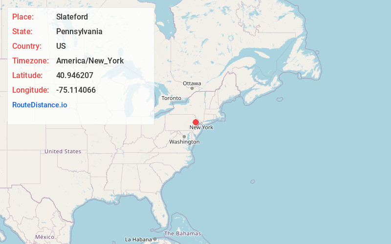
Location Information
-
Full AddressSlateford, Upper Mt Bethel Township, PA 18343
-
Coordinates40.9462071, -75.1140659
-
LocationUpper Mt Bethel Township , Pennsylvania , US
-
TimezoneAmerica/New_York
-
Current Local Time2:38:10 PM America/New_YorkTuesday, June 10, 2025
-
Page Views0
About Slateford
Slateford is an unincorporated community that is located in Northampton County, Pennsylvania. It is part of the Lehigh Valley metropolitan area, which has a population of 861,899 and is the 68th-most populous metropolitan area in the U.S. as of the 2020 census.

Nearby Places
Found 10 places within 50 miles

Portland
1.8 mi
2.9 km
Portland, PA
Get directions

Knowlton Township
1.9 mi
3.1 km
Knowlton Township, NJ
Get directions

Delaware Water Gap
2.7 mi
4.3 km
Delaware Water Gap, PA
Get directions

Dunnfield Creek
3.0 mi
4.8 km
Dunnfield Creek, Hardwick Township, NJ 07832
Get directions

Fox Hill
3.7 mi
6.0 km
Fox Hill, Stroud Township, PA 18360
Get directions
Stier
3.9 mi
6.3 km
Stier, Upper Mt Bethel Township, PA 18013
Get directions
Foxtown Hill
4.0 mi
6.4 km
Foxtown Hill, Stroud Township, PA 18360
Get directions
North Water Gap
4.2 mi
6.8 km
North Water Gap, Smithfield Township, PA 18301
Get directions
Hemlock Glen
4.5 mi
7.2 km
Hemlock Glen, Blairstown, NJ 07832
Get directions

Shawnee on Delaware
4.6 mi
7.4 km
Shawnee on Delaware, PA 18302
Get directions
Location Links
Local Weather
Weather Information
Coming soon!
Location Map
Static map view of Slateford, Pennsylvania
Browse Places by Distance
Places within specific distances from Slateford
Short Distances
Long Distances
Click any distance to see all places within that range from Slateford. Distances shown in miles (1 mile ≈ 1.61 kilometers).