Distance to Slavans, Kentucky

Calculating Your Route
Just a moment while we process your request...
Location Information
-
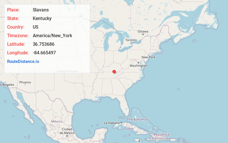
Full AddressSlavans, KY 42633
-
Coordinates36.7536857, -84.6654965
-
LocationKentucky , US
-
TimezoneAmerica/New_York
-
Current Local Time4:51:12 AM America/New_YorkSaturday, June 14, 2025
-
Page Views0
Nearby Places
Found 10 places within 50 miles

Kidds Crossing
0.8 mi
1.3 km
Kidds Crossing, KY 42633
Get directions
Ritner
3.3 mi
5.3 km
Ritner, KY 42633
Get directions
Coopersville
4.0 mi
6.4 km
Coopersville, KY 42633
Get directions
Denney
4.2 mi
6.8 km
Denney, KY 42633
Get directions
Pueblo
4.5 mi
7.2 km
Pueblo, KY 42633
Get directions
Griffin
4.9 mi
7.9 km
Griffin, KY 42633
Get directions
Co-Operative
5.3 mi
8.5 km
Co-Operative, KY 42647
Get directions
Gregory
5.6 mi
9.0 km
Gregory, KY 42633
Get directions
Barrier
5.7 mi
9.2 km
Barrier, KY 42633
Get directions
Oz
6.3 mi
10.1 km
Oz, KY 42647
Get directions
Location Links
Local Weather
Weather Information
Coming soon!
Location Map
Static map view of Slavans, Kentucky
Browse Places by Distance
Places within specific distances from Slavans
Short Distances
Long Distances
Click any distance to see all places within that range from Slavans. Distances shown in miles (1 mile ≈ 1.61 kilometers).