Distance to Sleeper, Missouri

Calculating Your Route
Just a moment while we process your request...
Location Information
-
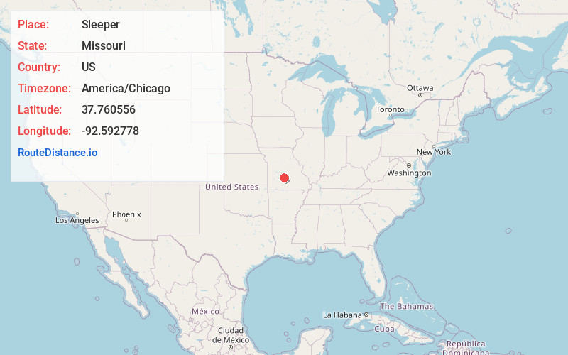
Full AddressSleeper, MO 65536
-
Coordinates37.760556, -92.592778
-
LocationSleeper , Missouri , US
-
TimezoneAmerica/Chicago
-
Current Local Time10:51:23 PM America/ChicagoSunday, June 22, 2025
-
Page Views0
About Sleeper
Sleeper is an unincorporated community in Laclede County, Missouri, United States. It is located approximately one mile north of Interstate 44 at the intersection of Missouri routes F and J. It is and about six miles northeast of Lebanon and five miles southwest of Stoutland.
Nearby Places
Found 10 places within 50 miles

Delmar
2.8 mi
4.5 km
Delmar, May/Smith Township, MO 65536
Get directions
Dove
5.3 mi
8.5 km
Dove, Auglaize Township, MO 65536
Get directions

Stoutland
5.7 mi
9.2 km
Stoutland, MO
Get directions

Lebanon
6.8 mi
10.9 km
Lebanon, MO 65536
Get directions
Harrill Ford
7.4 mi
11.9 km
Harrill Ford, May/Smith Township, MO 65536
Get directions
Garnsey
8.6 mi
13.8 km
Garnsey, May/Smith Township, MO 65556
Get directions
Hazelgreen
9.0 mi
14.5 km
Hazelgreen, May/Smith Township, MO 65556
Get directions
Eldridge
9.8 mi
15.8 km
Eldridge, MO 65536
Get directions
Bidwell
10.0 mi
16.1 km
Bidwell, Eldridge Township, MO 65536
Get directions
Case
11.0 mi
17.7 km
Case, Eldridge Township, MO 65463
Get directions
Location Links
Local Weather
Weather Information
Coming soon!
Location Map
Static map view of Sleeper, Missouri
Browse Places by Distance
Places within specific distances from Sleeper
Short Distances
Long Distances
Click any distance to see all places within that range from Sleeper. Distances shown in miles (1 mile ≈ 1.61 kilometers).