Distance to Smith, Kentucky

Calculating Your Route
Just a moment while we process your request...
Location Information
-
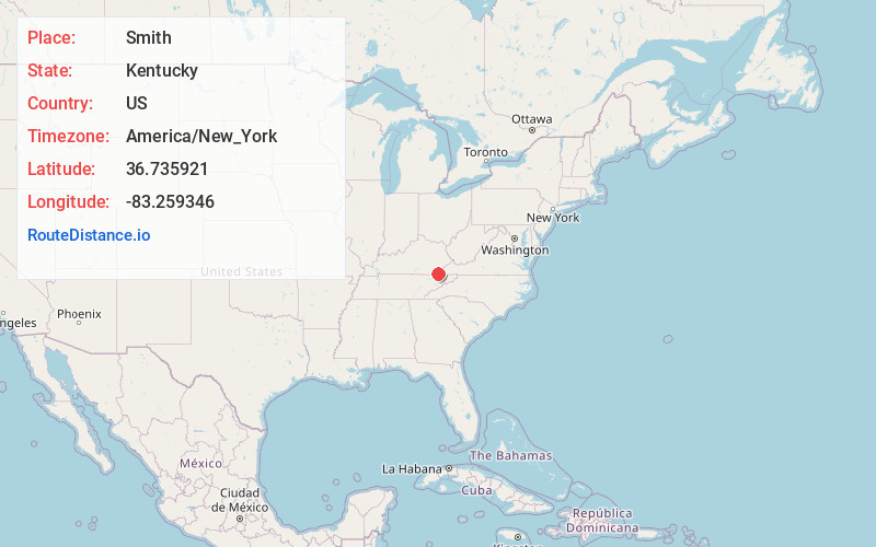
Full AddressSmith, KY 40815
-
Coordinates36.7359208, -83.2593455
-
LocationSmith , Kentucky , US
-
TimezoneAmerica/New_York
-
Current Local Time8:08:48 PM America/New_YorkThursday, June 19, 2025
-
Page Views0
About Smith
Smith is an unincorporated community in Harlan County, Kentucky, United States. The community lies along Kentucky Route 987 and the Martin's Fork of the Cumberland River. Smith is also home to Martins Fork Lake.

Nearby Places
Found 10 places within 50 miles

Martins Fork Lake
0.5 mi
0.8 km
Martins Fork Lake, Kentucky 40815
Get directions

Sampson
1.3 mi
2.1 km
Sampson, KY 40831
Get directions
Hagan
2.7 mi
4.3 km
Hagan, VA 24263
Get directions
Smiley
3.4 mi
5.5 km
Smiley, VA 24281
Get directions
Cawood
3.7 mi
6.0 km
Cawood, KY 40815
Get directions
Bobs Creek
3.8 mi
6.1 km
Bobs Creek, KY 40815
Get directions
Crummies
4.1 mi
6.6 km
Crummies, KY 40815
Get directions
Carrol Mill
4.1 mi
6.6 km
Carrol Mill, VA 24263
Get directions
Henegartown
4.6 mi
7.4 km
Henegartown, VA 24281
Get directions
Lenarue
4.9 mi
7.9 km
Lenarue, KY 40818
Get directions
Location Links
Local Weather
Weather Information
Coming soon!
Location Map
Static map view of Smith, Kentucky
Browse Places by Distance
Places within specific distances from Smith
Short Distances
Long Distances
Click any distance to see all places within that range from Smith. Distances shown in miles (1 mile ≈ 1.61 kilometers).