Distance to Smithfield, Ohio

Calculating Your Route
Just a moment while we process your request...
Location Information
-
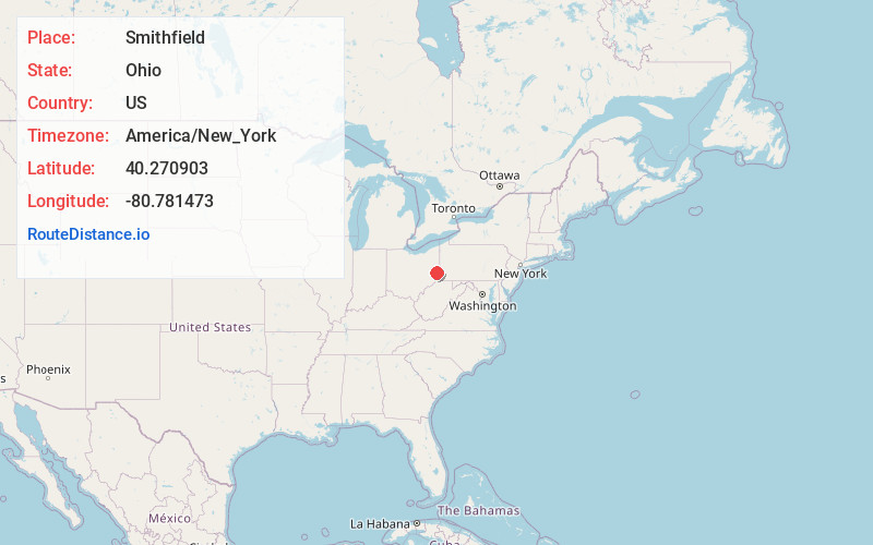
Full AddressSmithfield, OH
-
Coordinates40.2709027, -80.7814725
-
LocationSmithfield , Ohio , US
-
TimezoneAmerica/New_York
-
Current Local Time8:53:19 PM America/New_YorkWednesday, June 18, 2025
-
Page Views0
About Smithfield
Smithfield is an unincorporated community in Jefferson County, Ohio, United States. The population was 869 at the 2010 census. It is part of the Weirton–Steubenville metropolitan area. Formerly an incorporated village, Smithfield voted to dissolve itself in 2019.

Nearby Places
Found 10 places within 50 miles

McIntyre
2.5 mi
4.0 km
McIntyre, Wayne Township, OH 43910
Get directions
Dillonvale
5.2 mi
8.4 km
Dillonvale, OH
Get directions

Bloomingdale
5.3 mi
8.5 km
Bloomingdale, OH 43910
Get directions
New Alexandria
5.6 mi
9.0 km
New Alexandria, OH 43938
Get directions
Glen Run
5.6 mi
9.0 km
Glen Run, Warren Township, OH 43943
Get directions
Valley Glen
5.7 mi
9.2 km
Valley Glen, Cross Creek Township, OH 43938
Get directions

Adena
6.0 mi
9.7 km
Adena, OH
Get directions
Belvedere
6.1 mi
9.8 km
Belvedere, Wayne Township, OH 43910
Get directions
Ramsey
6.1 mi
9.8 km
Ramsey, OH 43917
Get directions
Blairmont
6.1 mi
9.8 km
Blairmont, Short Creek Township, OH 43901
Get directions
Location Links
Local Weather
Weather Information
Coming soon!
Location Map
Static map view of Smithfield, Ohio
Browse Places by Distance
Places within specific distances from Smithfield
Short Distances
Long Distances
Click any distance to see all places within that range from Smithfield. Distances shown in miles (1 mile ≈ 1.61 kilometers).