Distance to Adena, Ohio

Calculating Your Route
Just a moment while we process your request...
Location Information
-
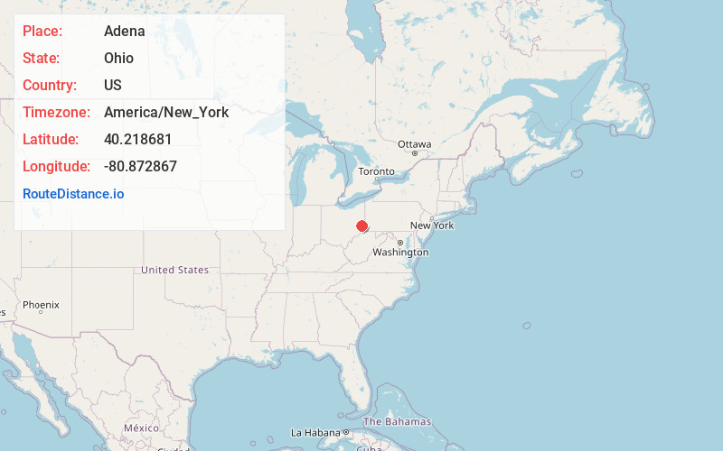
Full AddressAdena, OH
-
Coordinates40.2186805, -80.8728672
-
LocationAdena , Ohio , US
-
TimezoneAmerica/New_York
-
Current Local Time3:32:45 AM America/New_YorkWednesday, June 18, 2025
-
Page Views0
About Adena
Adena is a village in Jefferson and Harrison counties in the U.S. state of Ohio. The population was 664 at the 2020 census. It is part of the Weirton–Steubenville metropolitan area.

Nearby Places
Found 10 places within 50 miles

Dillonvale
5.4 mi
8.7 km
Dillonvale, OH
Get directions

Hopedale
7.5 mi
12.1 km
Hopedale, OH 43976
Get directions

Cadiz
7.5 mi
12.1 km
Cadiz, OH 43907
Get directions
Yorkville
9.7 mi
15.6 km
Yorkville, OH
Get directions

St Clairsville
9.7 mi
15.6 km
St Clairsville, OH 43950
Get directions
Tiltonsville
9.8 mi
15.8 km
Tiltonsville, OH
Get directions

Flushing
11.3 mi
18.2 km
Flushing, OH 43977
Get directions

Martins Ferry
11.5 mi
18.5 km
Martins Ferry, OH 43935
Get directions
Brookside
11.8 mi
19.0 km
Brookside, OH 43912
Get directions

Bridgeport
12.5 mi
20.1 km
Bridgeport, OH 43912
Get directions
Location Links
Local Weather
Weather Information
Coming soon!
Location Map
Static map view of Adena, Ohio
Browse Places by Distance
Places within specific distances from Adena
Short Distances
Long Distances
Click any distance to see all places within that range from Adena. Distances shown in miles (1 mile ≈ 1.61 kilometers).