Distance to Smithport, Alabama

Calculating Your Route
Just a moment while we process your request...
Location Information
-
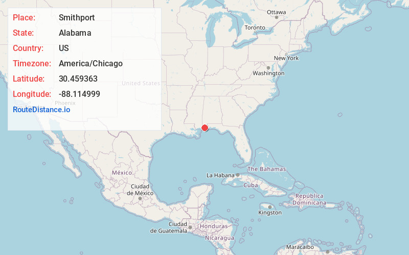
Full AddressSmithport, AL 36582
-
Coordinates30.4593632, -88.1149992
-
LocationAlabama , US
-
TimezoneAmerica/Chicago
-
Current Local Time1:47:30 AM America/ChicagoFriday, June 20, 2025
-
Page Views0
Nearby Places
Found 10 places within 50 miles

Mon Louis
1.4 mi
2.3 km
Mon Louis, AL 36523
Get directions
South Orchard
2.2 mi
3.5 km
South Orchard, AL 36582
Get directions
Delchamps
4.5 mi
7.2 km
Delchamps, AL 36523
Get directions

Fowl River
5.6 mi
9.0 km
Fowl River, Alabama
Get directions

Alabama Port
6.7 mi
10.8 km
Alabama Port, AL 36523
Get directions
Heron Bay
7.3 mi
11.7 km
Heron Bay, AL 36523
Get directions

Irvington
7.3 mi
11.7 km
Irvington, AL 36544
Get directions

Theodore
7.6 mi
12.2 km
Theodore, AL 36582
Get directions

Coden
9.0 mi
14.5 km
Coden, AL 36523
Get directions

Tillmans Corner
9.3 mi
15.0 km
Tillmans Corner, AL
Get directions
Location Links
Local Weather
Weather Information
Coming soon!
Location Map
Static map view of Smithport, Alabama
Browse Places by Distance
Places within specific distances from Smithport
Short Distances
Long Distances
Click any distance to see all places within that range from Smithport. Distances shown in miles (1 mile ≈ 1.61 kilometers).