Distance to Smiths Ferry, Idaho

Calculating Your Route
Just a moment while we process your request...
Location Information
-
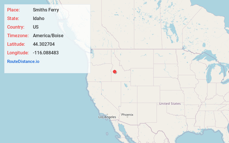
Full AddressSmiths Ferry, ID 83611
-
Coordinates44.3027038, -116.0884826
-
LocationSmiths Ferry , Idaho , US
-
TimezoneAmerica/Boise
-
Current Local Time8:19:58 PM America/BoiseThursday, June 19, 2025
-
Page Views0
About Smiths Ferry
Smiths Ferry is a census-designated place in Valley County, Idaho, United States. Its population was 75 as of the 2010 census. Situated where the North Fork of the Payette River briefly calms and widens.


Nearby Places
Found 10 places within 50 miles

Crouch
14.2 mi
22.9 km
Crouch, ID 83622
Get directions

Cascade
14.9 mi
24.0 km
Cascade, ID 83611
Get directions

Garden Valley
16.0 mi
25.7 km
Garden Valley, ID 83622
Get directions

Horseshoe Bend
27.4 mi
44.1 km
Horseshoe Bend, ID 83629
Get directions

Donnelly
29.6 mi
47.6 km
Donnelly, ID 83615
Get directions

Midvale
34.0 mi
54.7 km
Midvale, ID 83645
Get directions

Council
34.2 mi
55.0 km
Council, ID 83612
Get directions

Cambridge
34.5 mi
55.5 km
Cambridge, ID 83610
Get directions

Idaho City
35.1 mi
56.5 km
Idaho City, ID 83631
Get directions

Emmett
36.0 mi
57.9 km
Emmett, ID 83617
Get directions
Location Links
Local Weather
Weather Information
Coming soon!
Location Map
Static map view of Smiths Ferry, Idaho
Browse Places by Distance
Places within specific distances from Smiths Ferry
Short Distances
Long Distances
Click any distance to see all places within that range from Smiths Ferry. Distances shown in miles (1 mile ≈ 1.61 kilometers).